
Metamorphic Terrane rises from the ancestral homeland of the Sauk-Suiattle people, known now as North Cascades National Park.
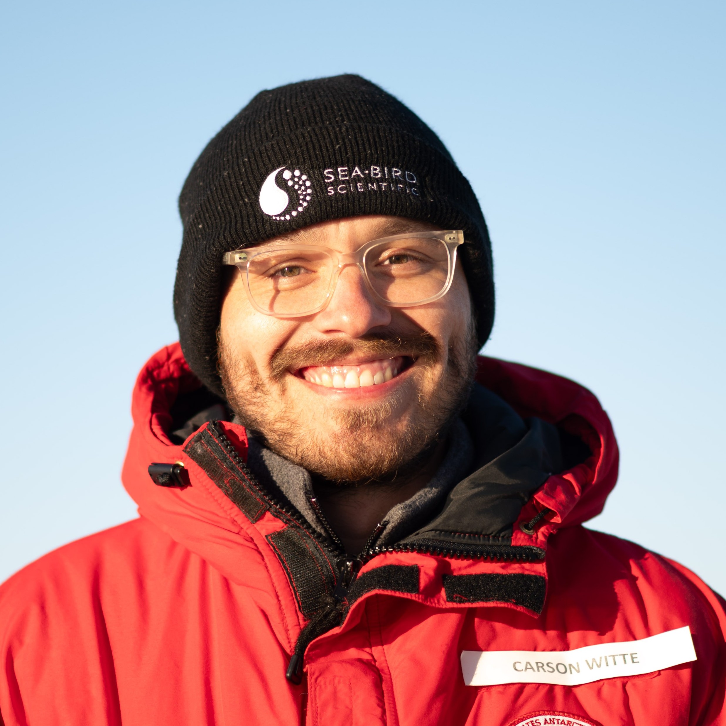
Postdoctoral Research Scientist
Lamont-Doherty Earth Observatory
cwitte@ldeo.columbia.edu
Deep Water Formation and Export in the Terra Nova Bay Polynya and Western Ross Sea
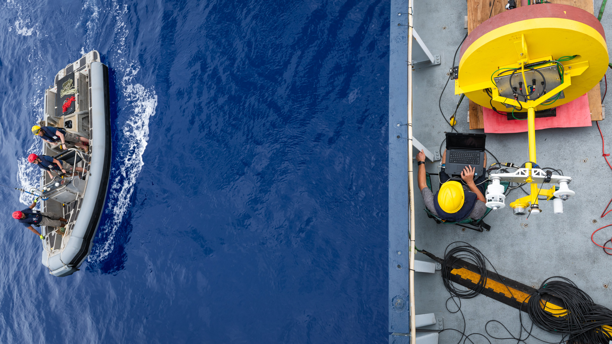
We deployed six moorings in Terra Nova Bay and the western Ross Sea during the austral summer of 2024/25 from Icebreaking Research Vessel ARAON (Korea) and Research Vessel Tangaroa (New Zealand) in order to observe the formation of dense water in the Terra Nova Bay polynya and track its export to the continental shelf break, where it spills into the abyss to become Antarctic Bottom Water. These include two heavily instrumented moorings within the polynya itself characterizing the connection between the surface and the ocean bottom, as well as four bottom moorings along the export pathway of the Drygalski Trough. We will retrieve the data and redeploy the moorings on a research cruise this upcoming austral summer. This project is a sequel to a previous mooring deployment and recovery I performed in Terra Nova Bay as a Field Technician in 2017/18; check out Una Miller's publications from that study here and here.
Quantifying the Influence of Diurnal Warm Layers and Rain Lenses on Air-Sea Exchange Processes
We present novel observations of temperature and turbulence profiles from our custom-built autonomous buoy SPIP-2 (pictured) throughout several large diurnal warm layer events. We compare this dataset to a hierarchy of upper-ocean models, and propose a revision to the COARE diurnal warm layer scaling that remedies a systematic issue in cases of wind decrease.
Current parameterizations of solar heating used in ocean models do not work well at shallow depths, which becomes a major problem when there is stratification in the upper meters. We assemble simple, observationally-validated modeling tools to develop a new, chlorophyll-dependent parameterization that remedies this inaccuracy.
Using a 4-month-long dataset of radiometric skin temperature measurements made during 69 rain events, we tested a state-of-the-art model for the effect of rain on the temperature of the ocean surface, and demonstrated a physical modification to the model that greatly improved its agreement with observations.
Knowledge Co-Production with Indigenous Peoples and Aligning Scientific Expertise with Community Priorities
This film details the Ikaaġvik Sikukun (Inupiaq for “Ice Bridges”) project, which employed the principles of knowledge co-production in bridging scientific and Indigenous communities to study the changing sea ice environment of Kotzebue Sound, guided by the Traditional Knowledge of an Indigenous Elder Advisory Council.
My primary role in the Ikaaġvik Sikukun project was to investigate the causes of the extremely anomalous low-ice winters that occurred during our study period using in-situ observations of the heat flow between ocean, river, ice, and atmosphere in Kotzebue Sound, which revealed the ocean to be the primary driver of sea ice loss, while the river exerts both positive and negative effects on the sea ice depending on the season.
As an AGU Thriving Earth Exchange Community Science Fellow, I worked with community leaders in Marion County and Rosewood, South Carolina, to address recent issues of chronic flooding in the region by recruiting volunteer scientists to help develop an informational pamphlet and accompanying waterproof 'go-bags', equipping these communities with critical resources to help them anticipate and respond to floods.

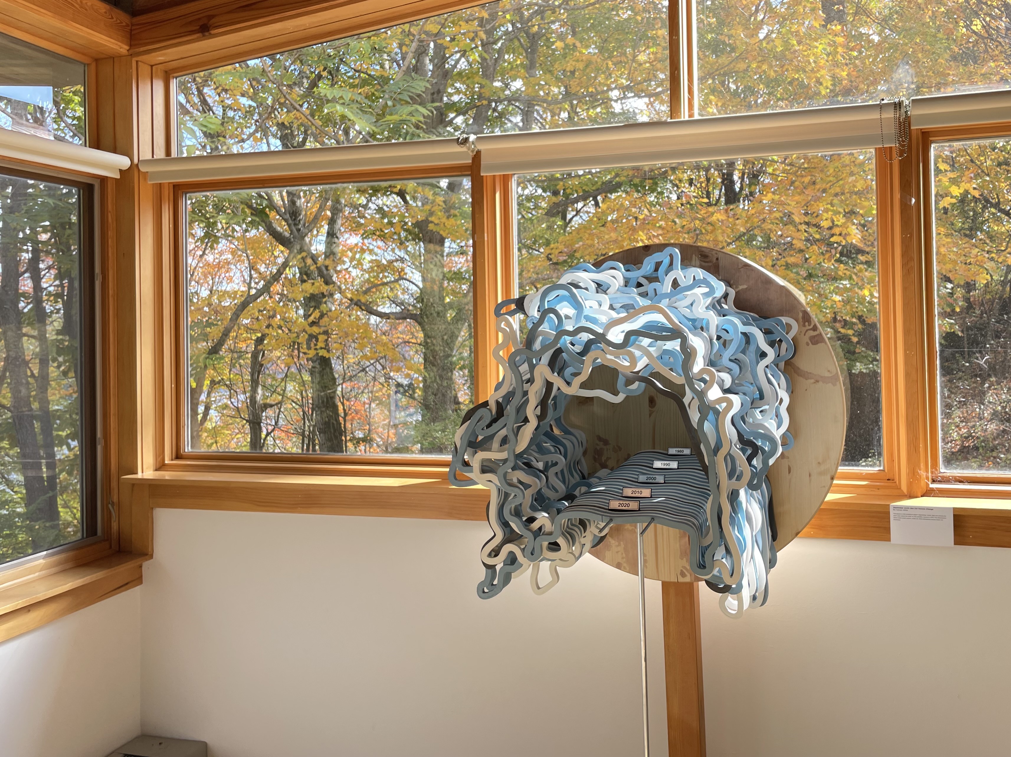
Sculpture of September Arctic Sea Ice Volume Since 1979
The stacked layers of this living sculpture depict maps of the Arctic sea ice pack from every September since the start of the satellite record, with the thickness of each layer corresponding to the mean thickness of the ice, reflecting the total volume change over time. The sea ice reaches a minimum in September, meaning ice that survives through September will likely see another winter. Use of all three spatial dimensions imparts a visceral understanding of the volume loss, conveying both the decadal mean trend and the year-to-year variability in a way that is unachievable in two-dimensional media. This piece was a winner of the 2025 Lamont-Doherty Earth Observatory Research as Art Exhibit, and is currently on display in the Monell building lobby on Lamont campus. A new layer will be added every year until the ice runs out. Sea ice extent data is from NSIDC (Fetterer et al., 2025, doi:10.7265/a98x-0f50) and thickness estimates are from PIOMAS (Schweiger et al., 2011, doi:10.1029/2011JC007084).
Metamorphic Terrane rises from the ancestral homeland of the Sauk-Suiattle people, known now as North Cascades National Park.
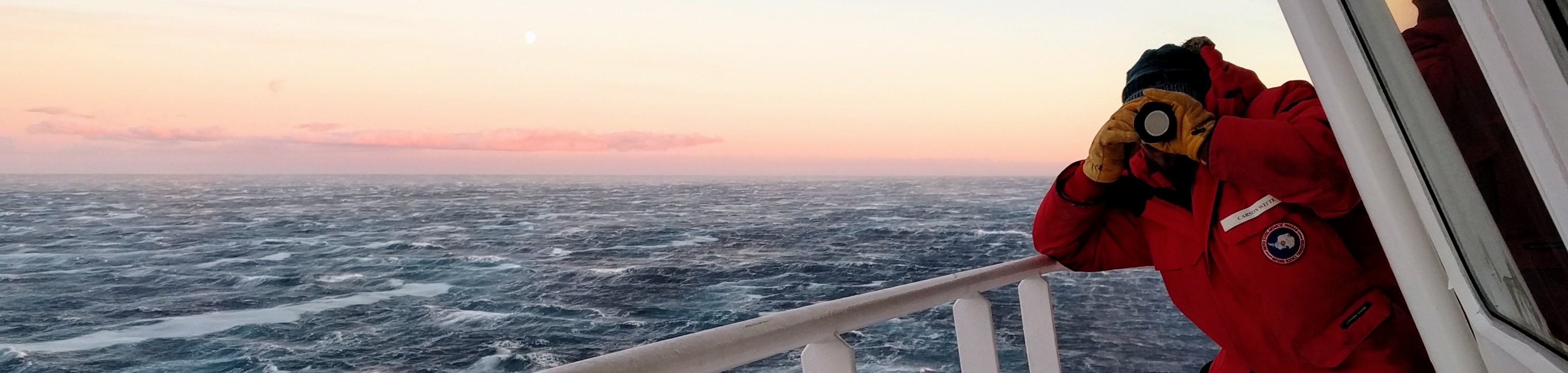
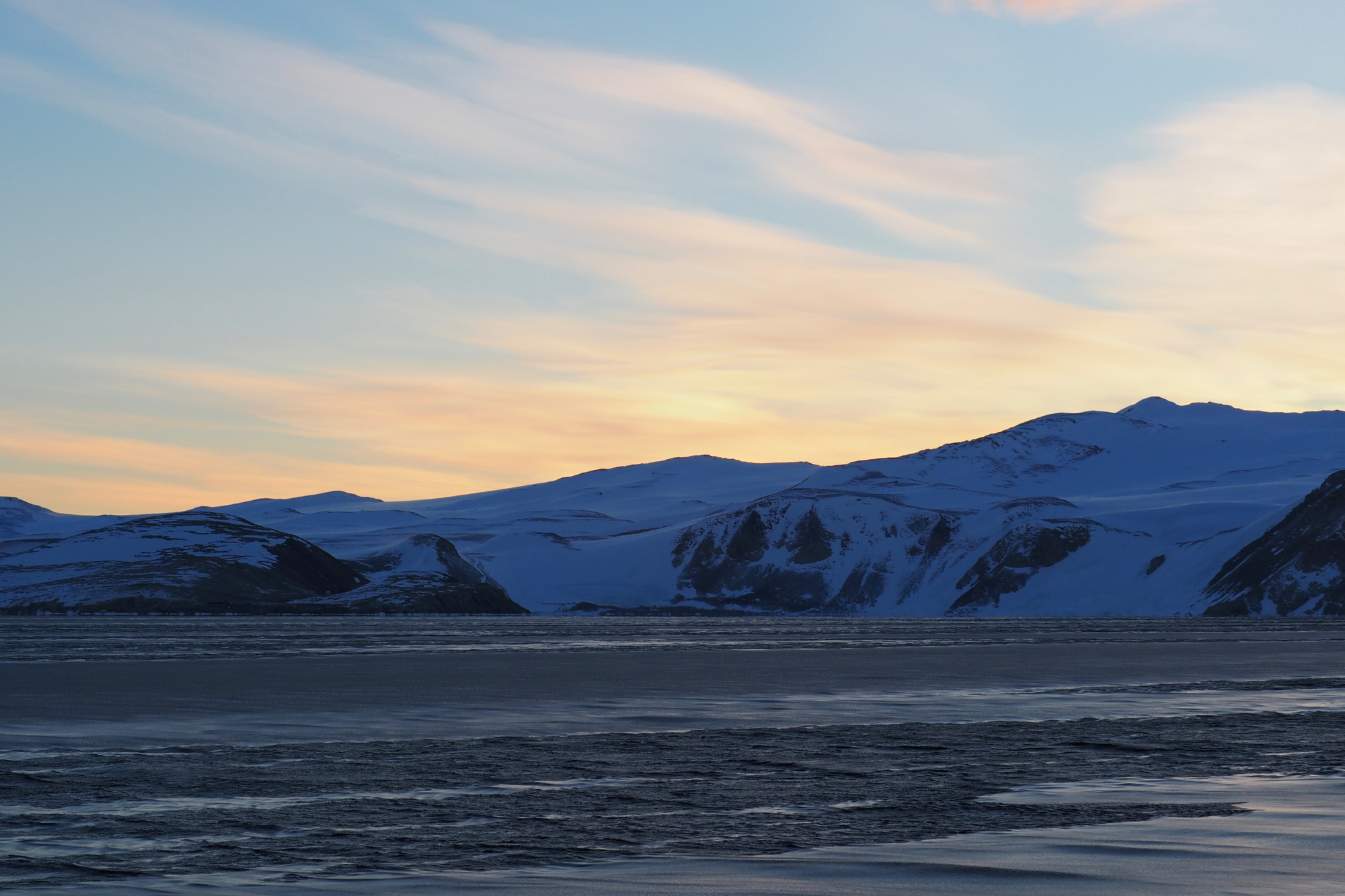
Still waters in Antarctic Dusk.
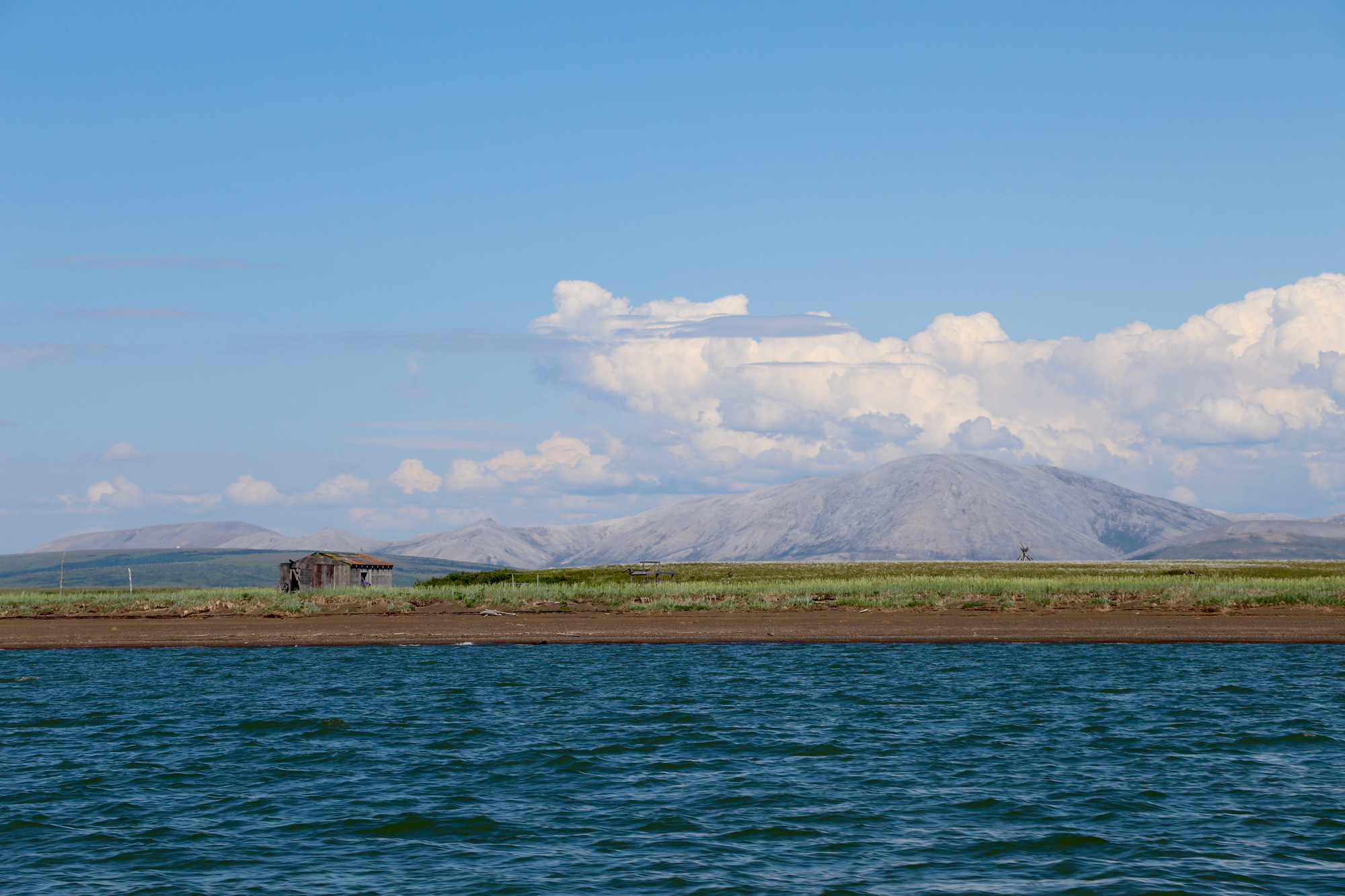
A remote Inupiaq camp along the shores of Kotzebue Sound.
There are glorious, almost tropical-feeling skies to be found in Antarctica's "Banana Belt".
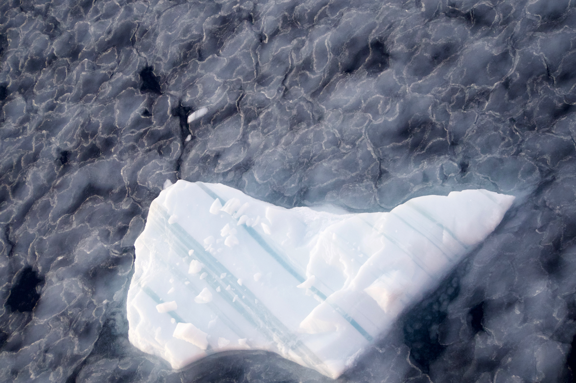
The early stages of ice formation create an ethereal layer atop the ocean surface. The later stages aren't too shabby either.
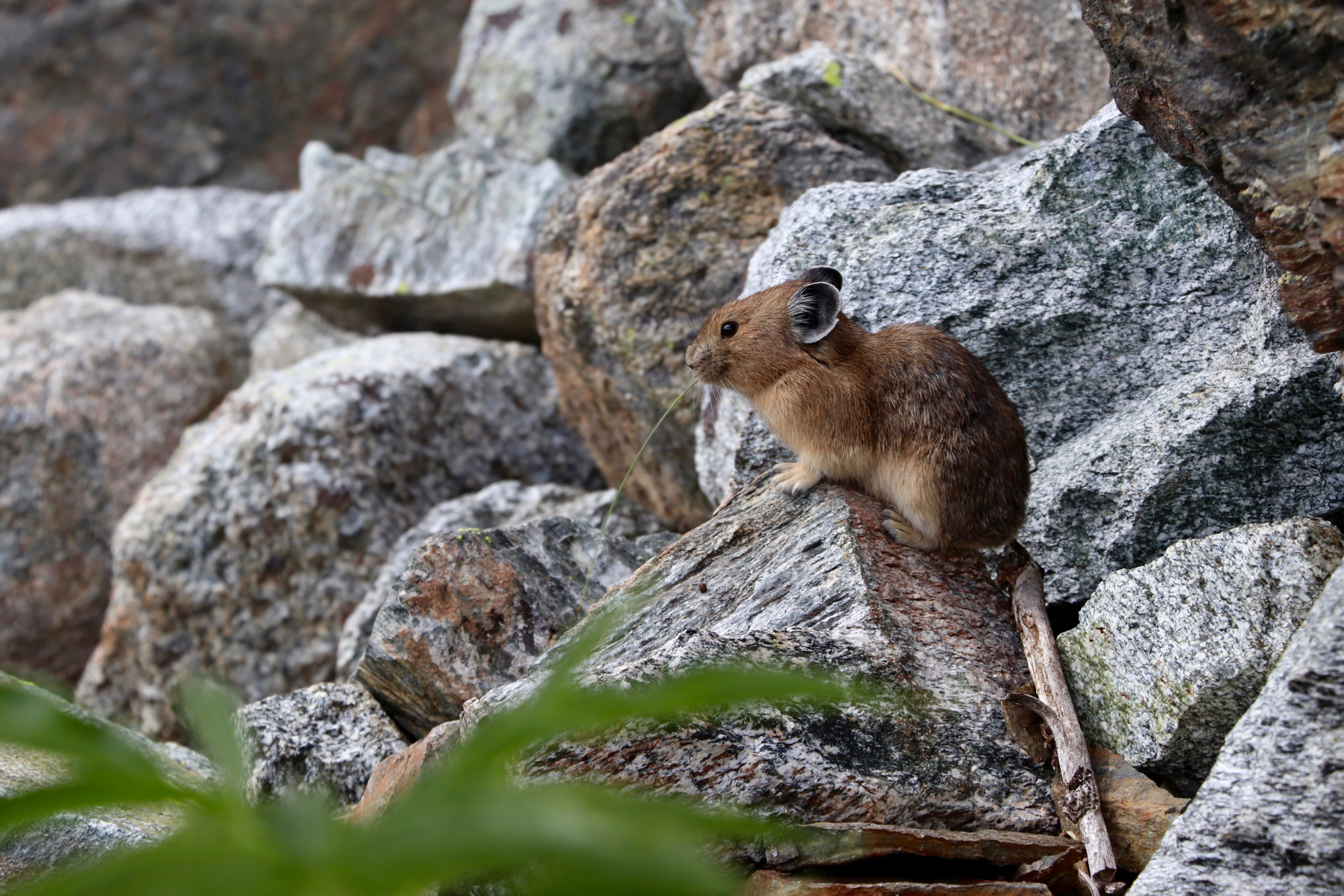
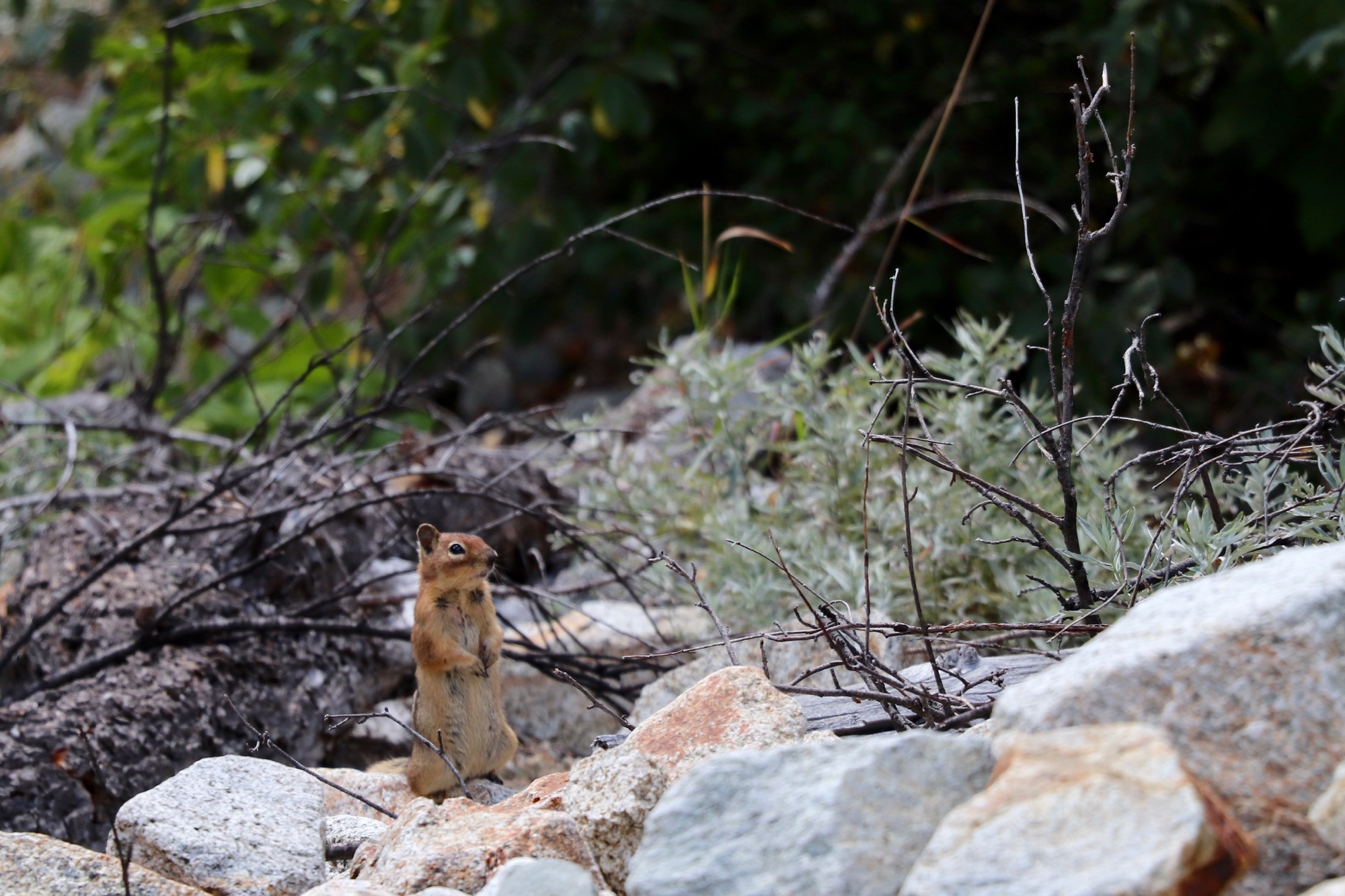
Pika, the little chief hare, nibbles away in preparation for lean months above tree line.
Ironside Glacier winds its lazy way down to the sea, forging forward at the blistering pace of a meter per day in its quest to float away.
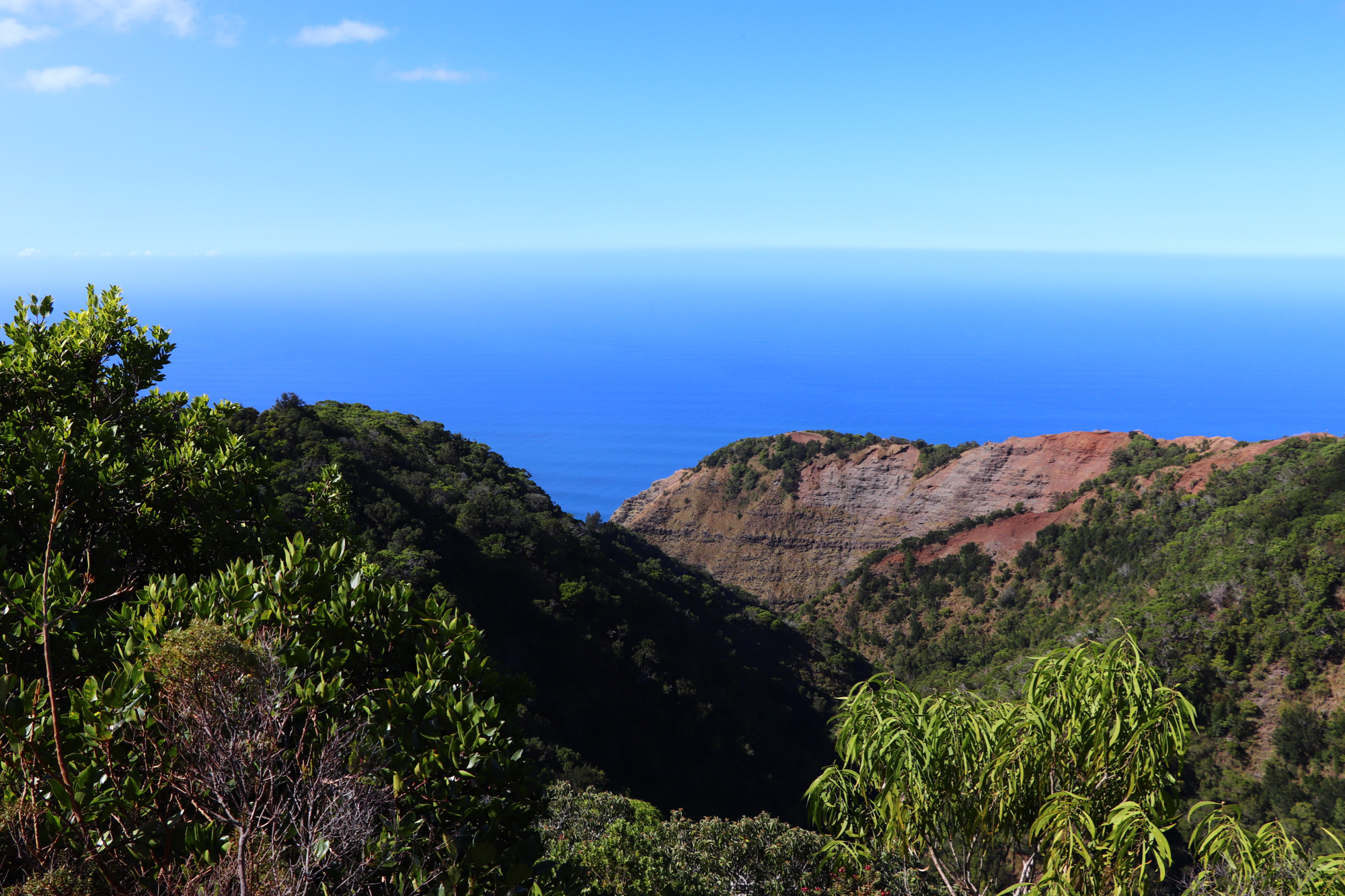
A Pacific horizon from the Nā Pali coast.
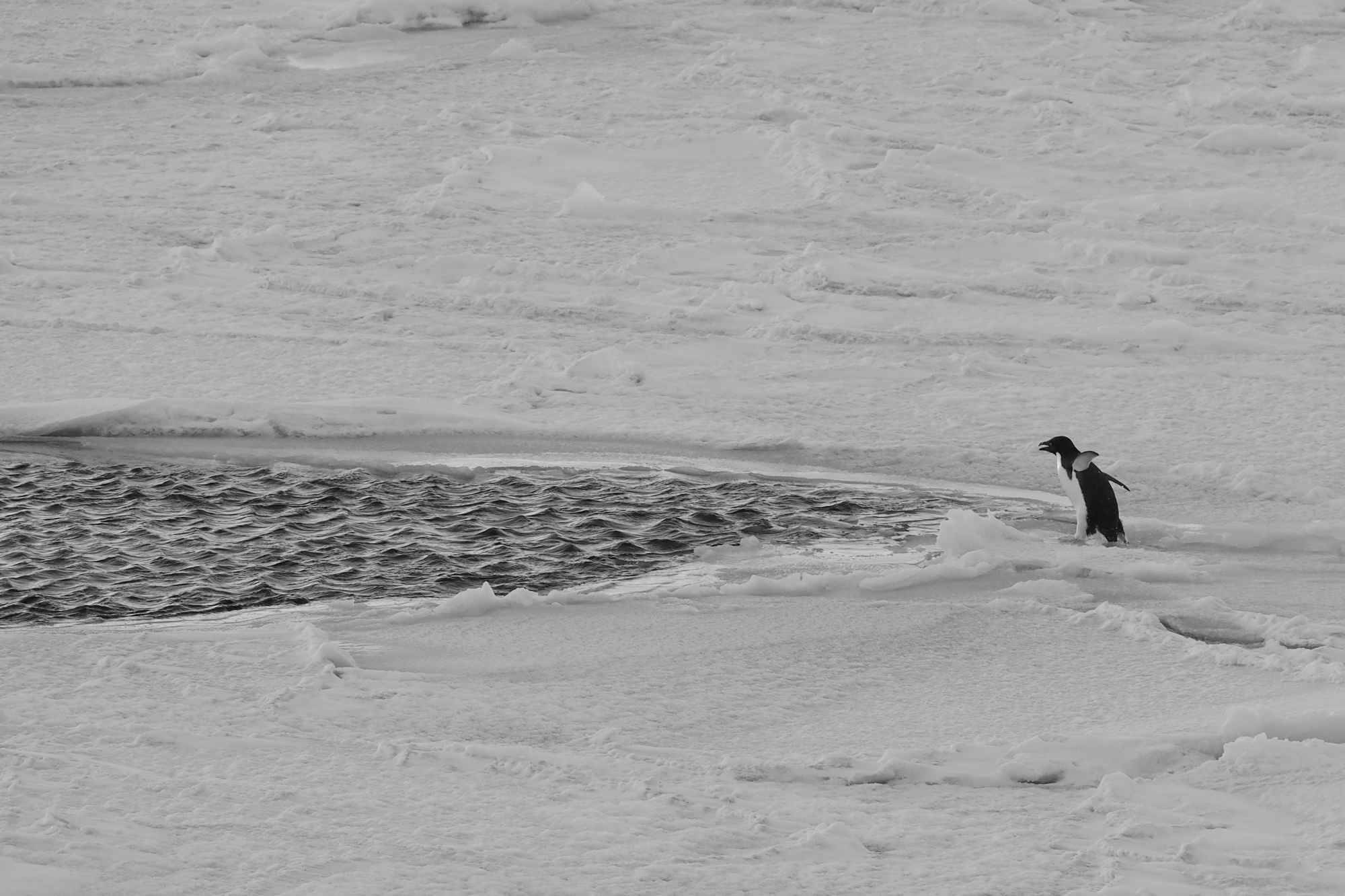
A startled Adelie dives for cover.

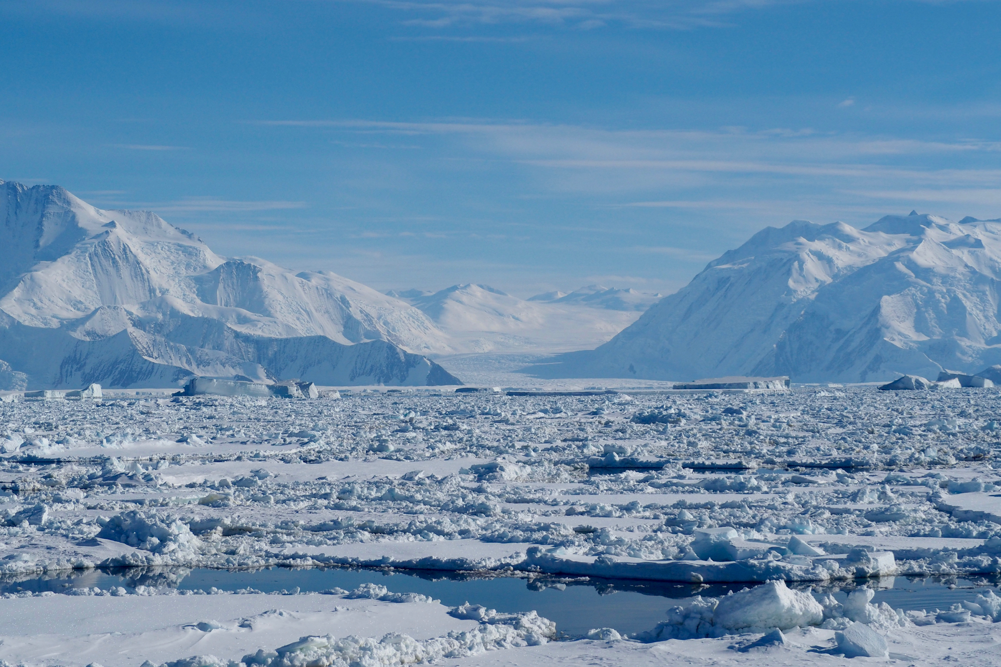
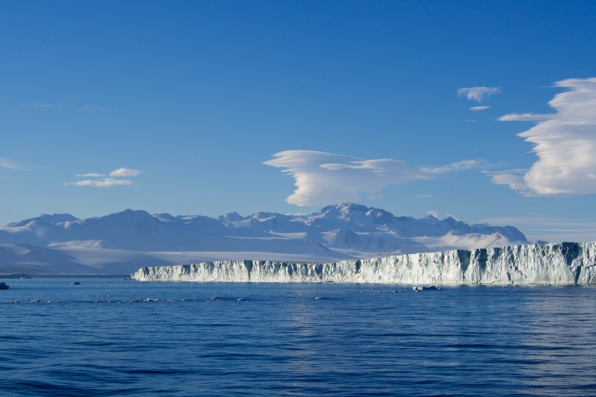
Magic in the margins of the Ross Sea.
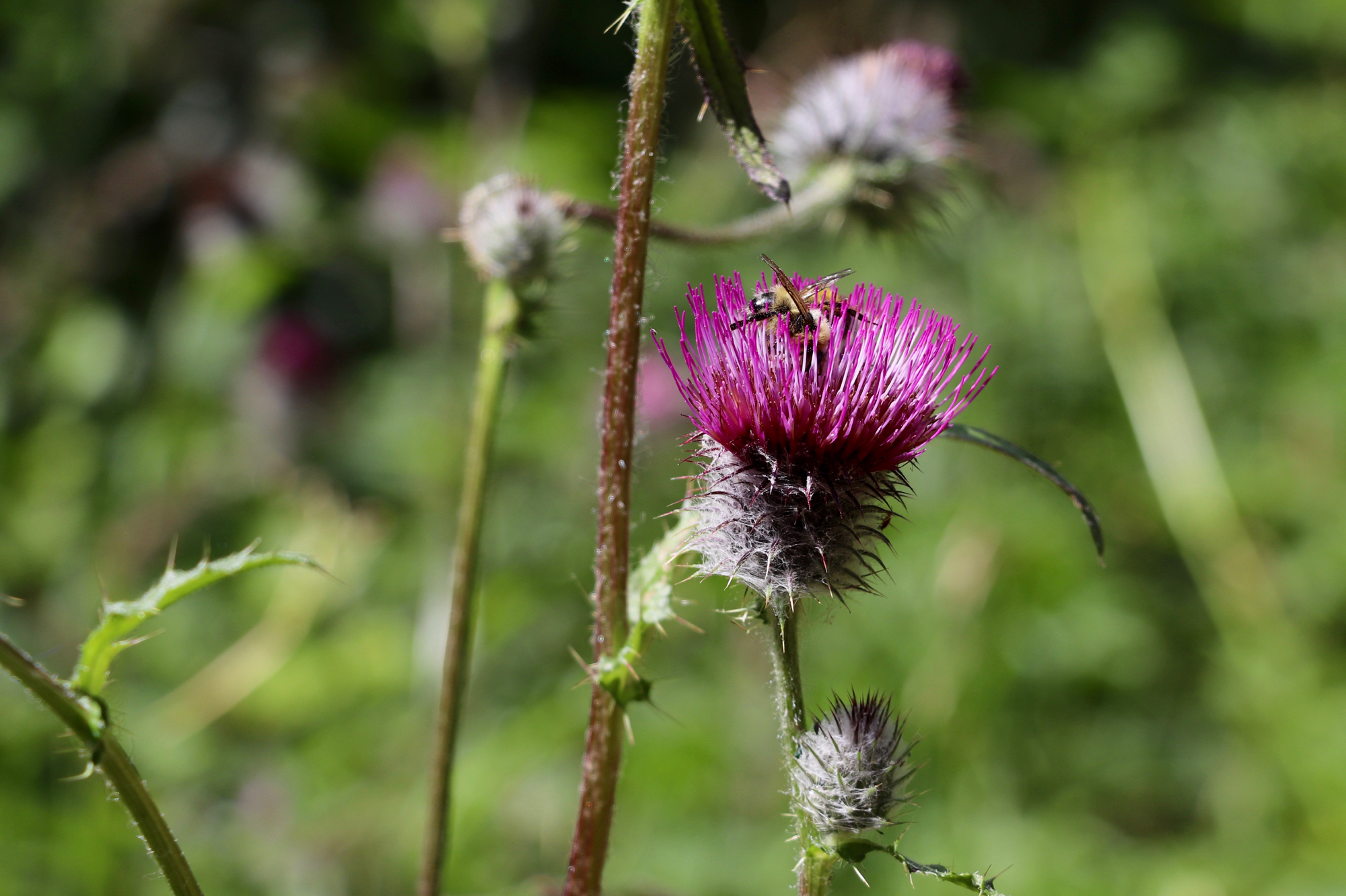
Pollinators.
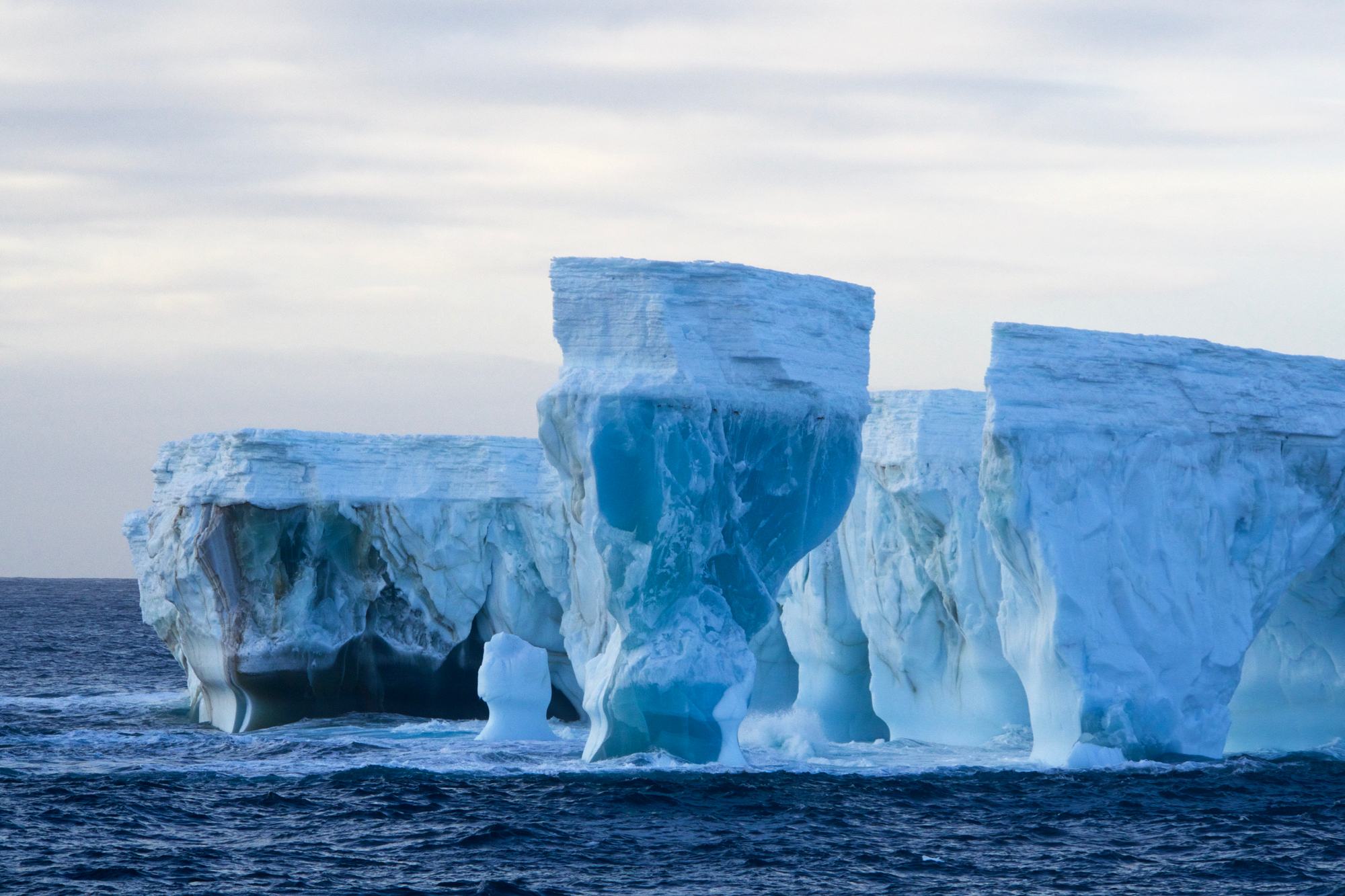
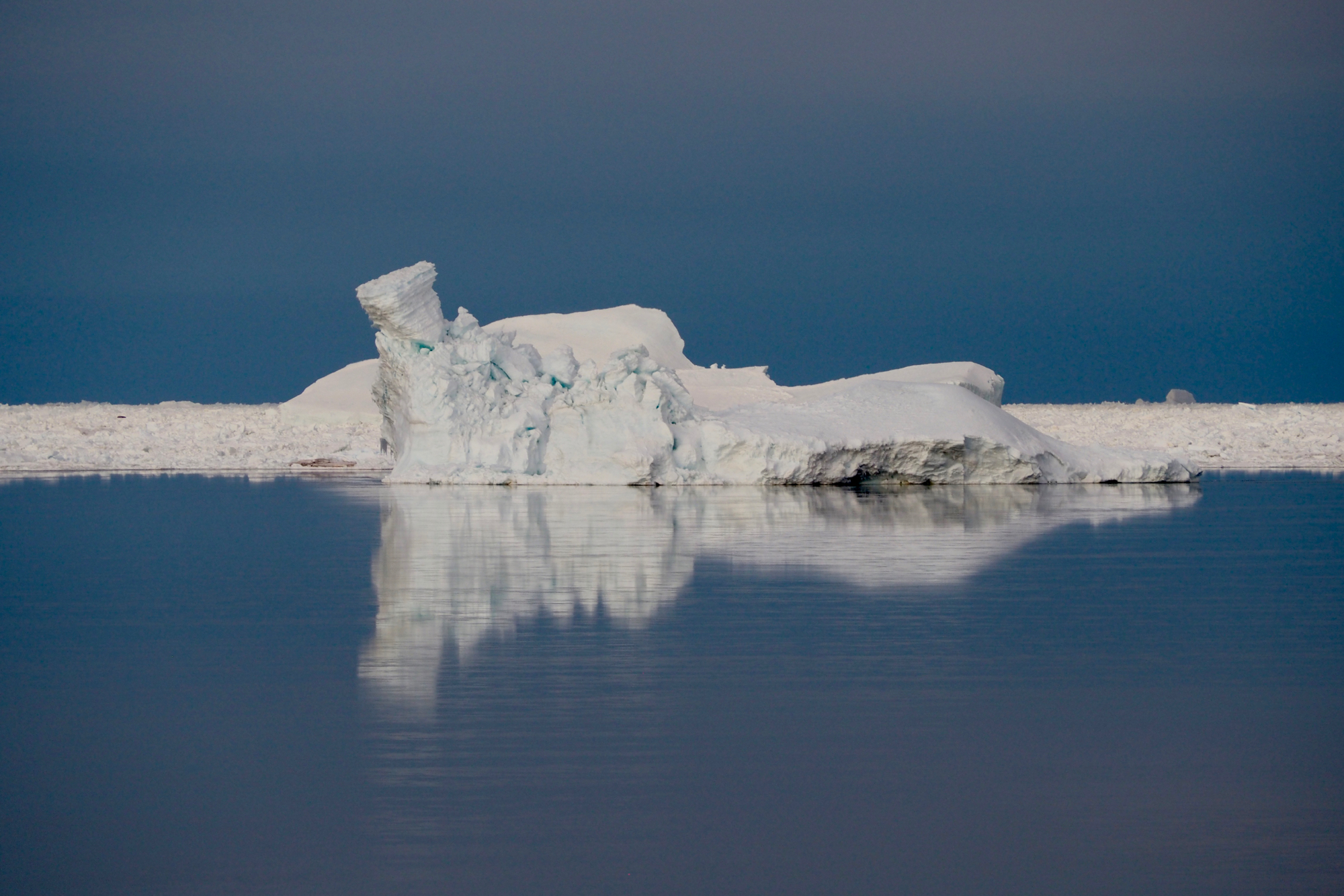
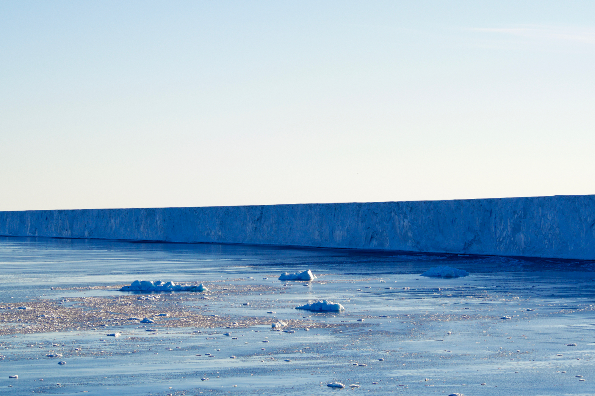
Glacial pillars breach the sea surface, an ocean's architectural masterpiece.
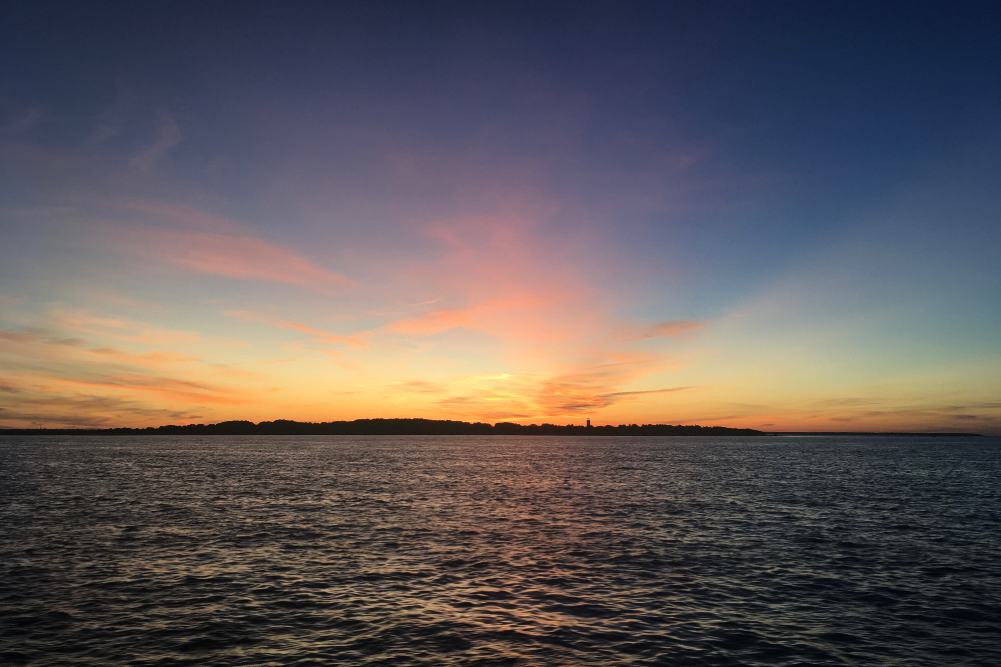
Sunset over Noepe, as the island was known to the People of the First Light, witnessed on the return journey from Martha's Vineyard Coastal Observatory.
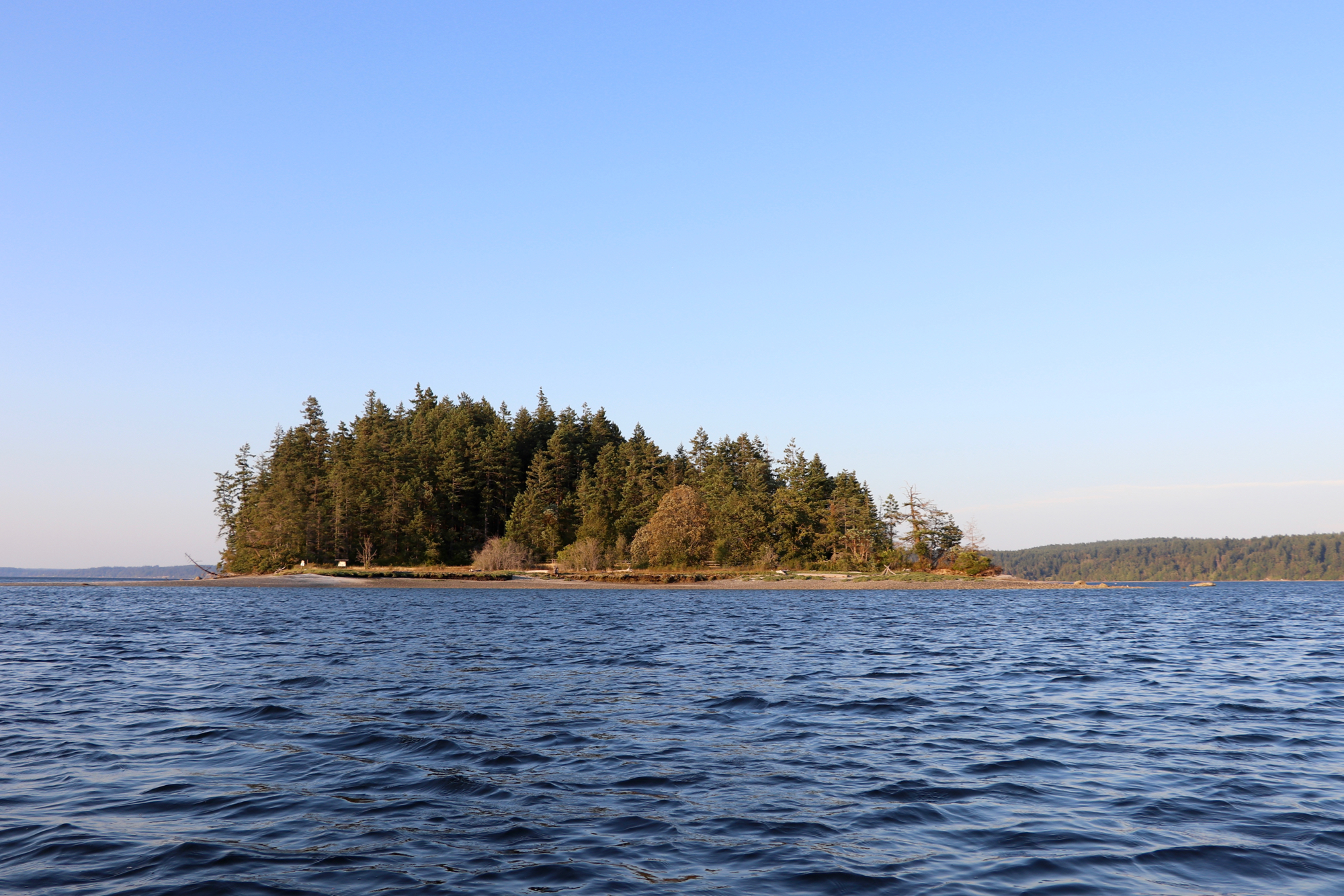
McMicken Island, my spiritual home. So named for the Washington Surveyor General who "found" it, with little regard for the island's mysteries nor its relationship to the Squaxin.
A piece of Possession Island, whose name may smack of colonial avarice, but whose body remains thoroughly un-possessed.
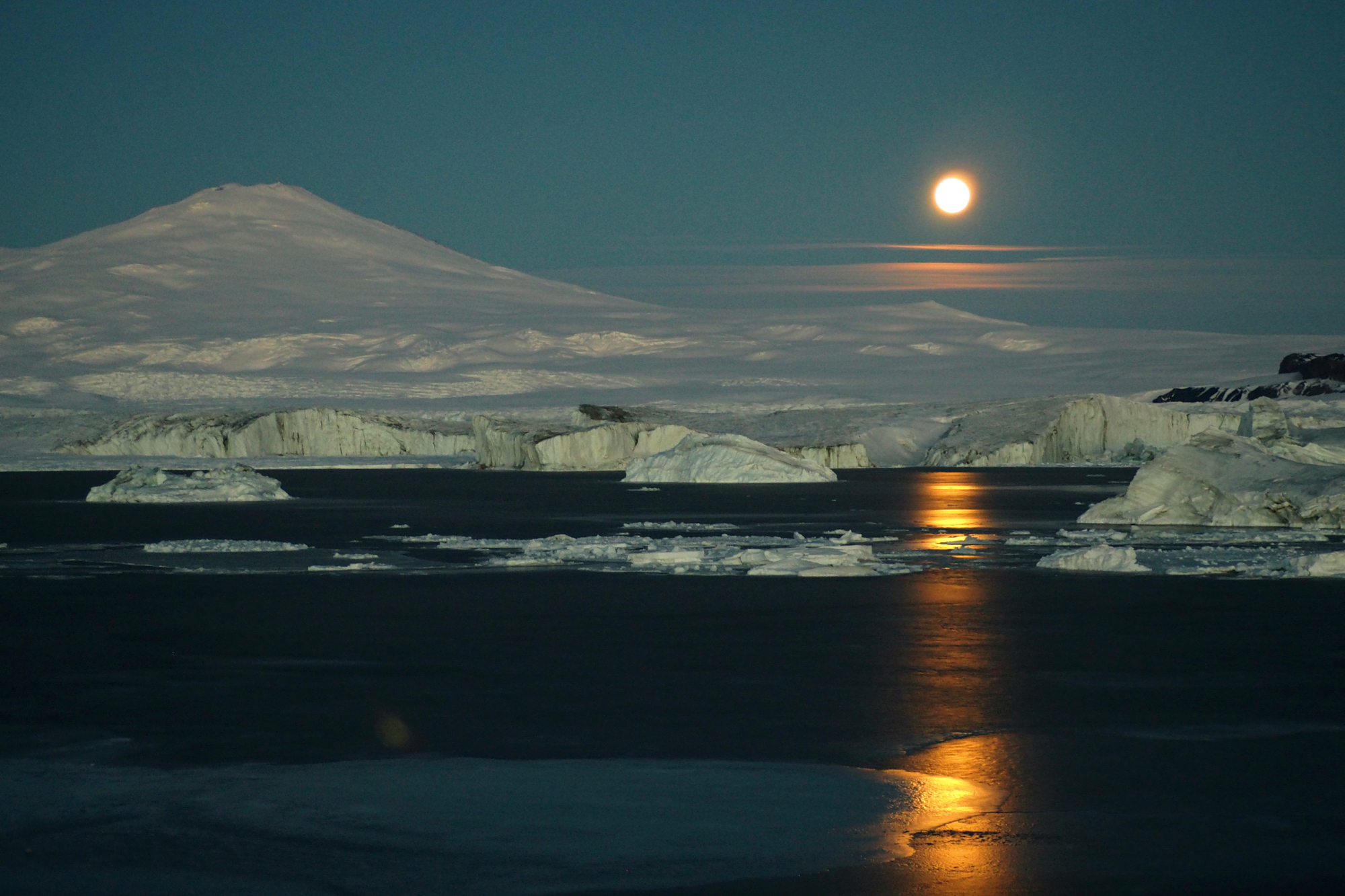
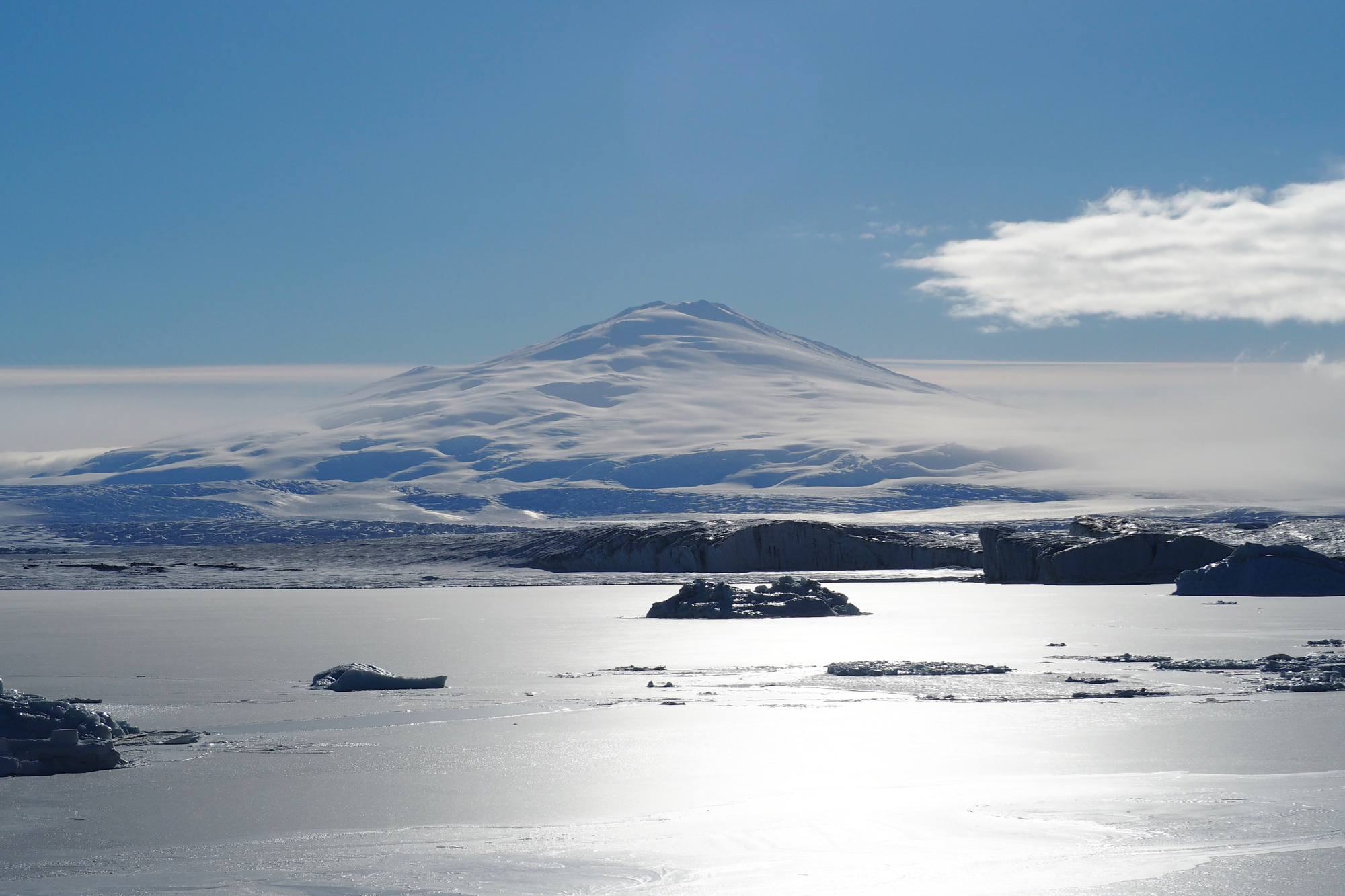
The active stratovolcano Mt. Melbourne looms aside the moon.
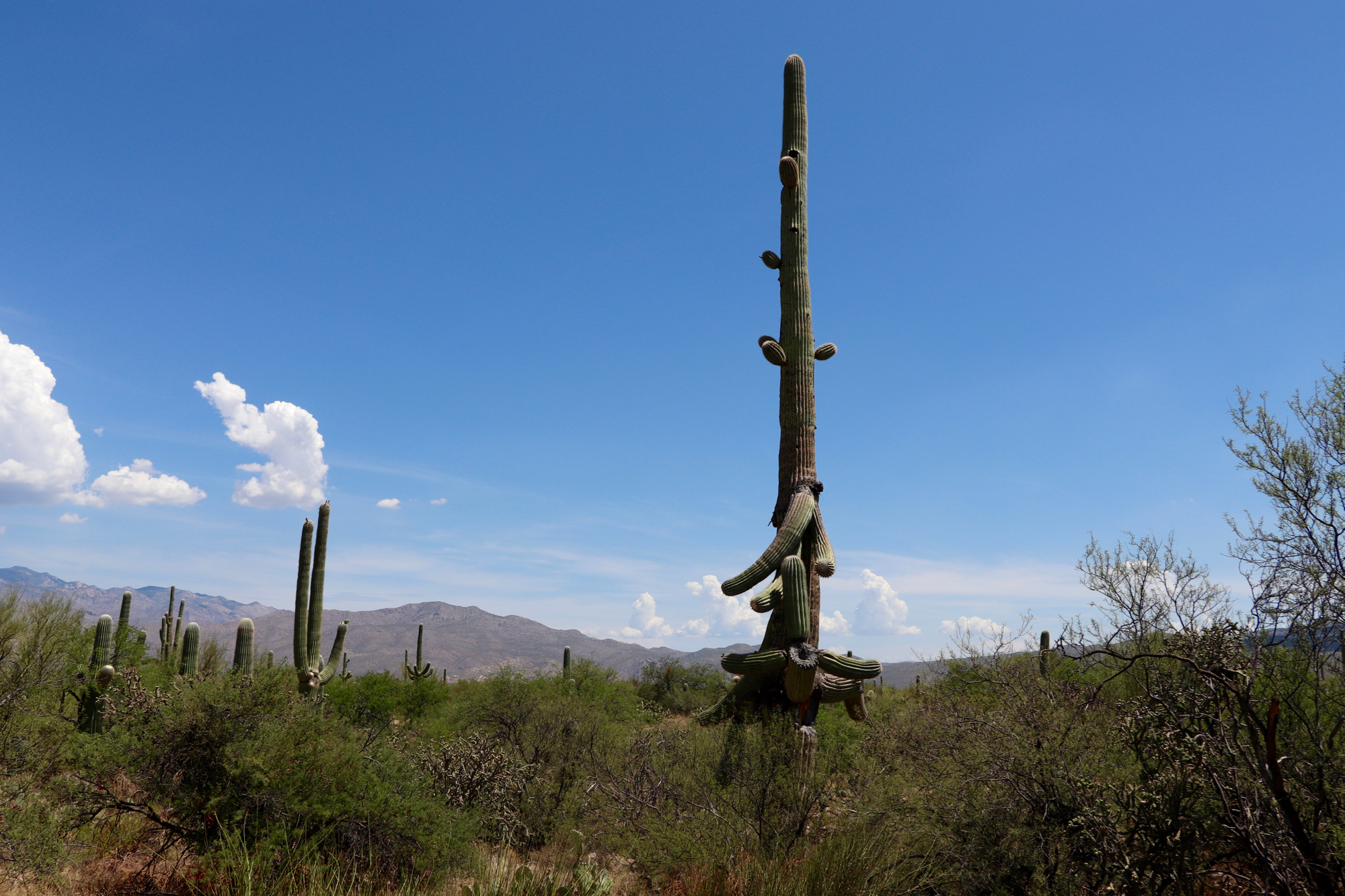
An adult Ha:sañ (Saguaro) cactus, old enough to have lost many Tohono O'odham friends over the past 150 years, but unlikely to be old enough to tell us why the irrigation economy of the Hohokam collapsed here centuries earlier.

April clouds striving in vain to stave off the impression of ice-lessness in the prematurely open waters around Cape Blossom, Alaska.
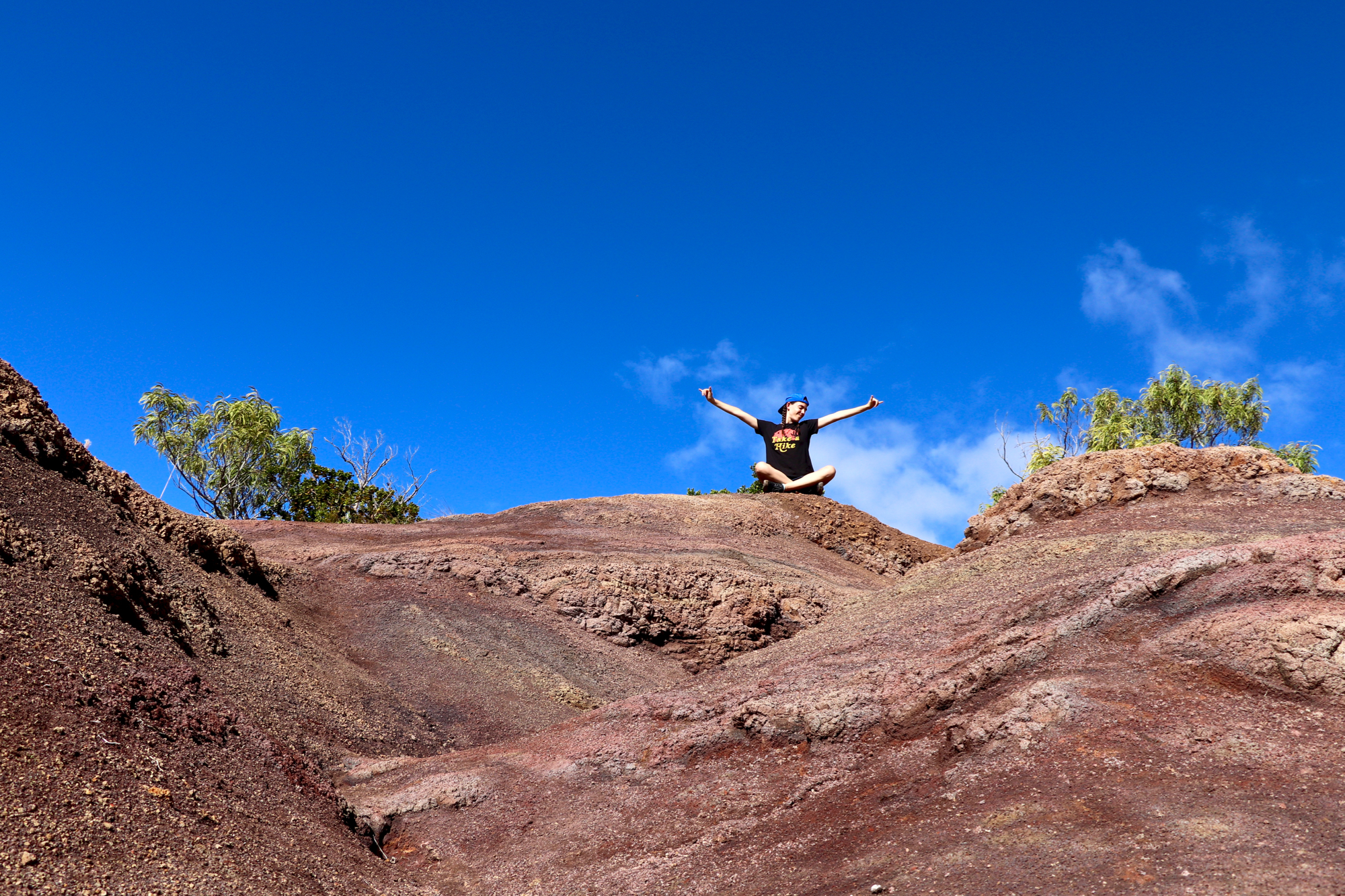
My Mer. Take a Hike!
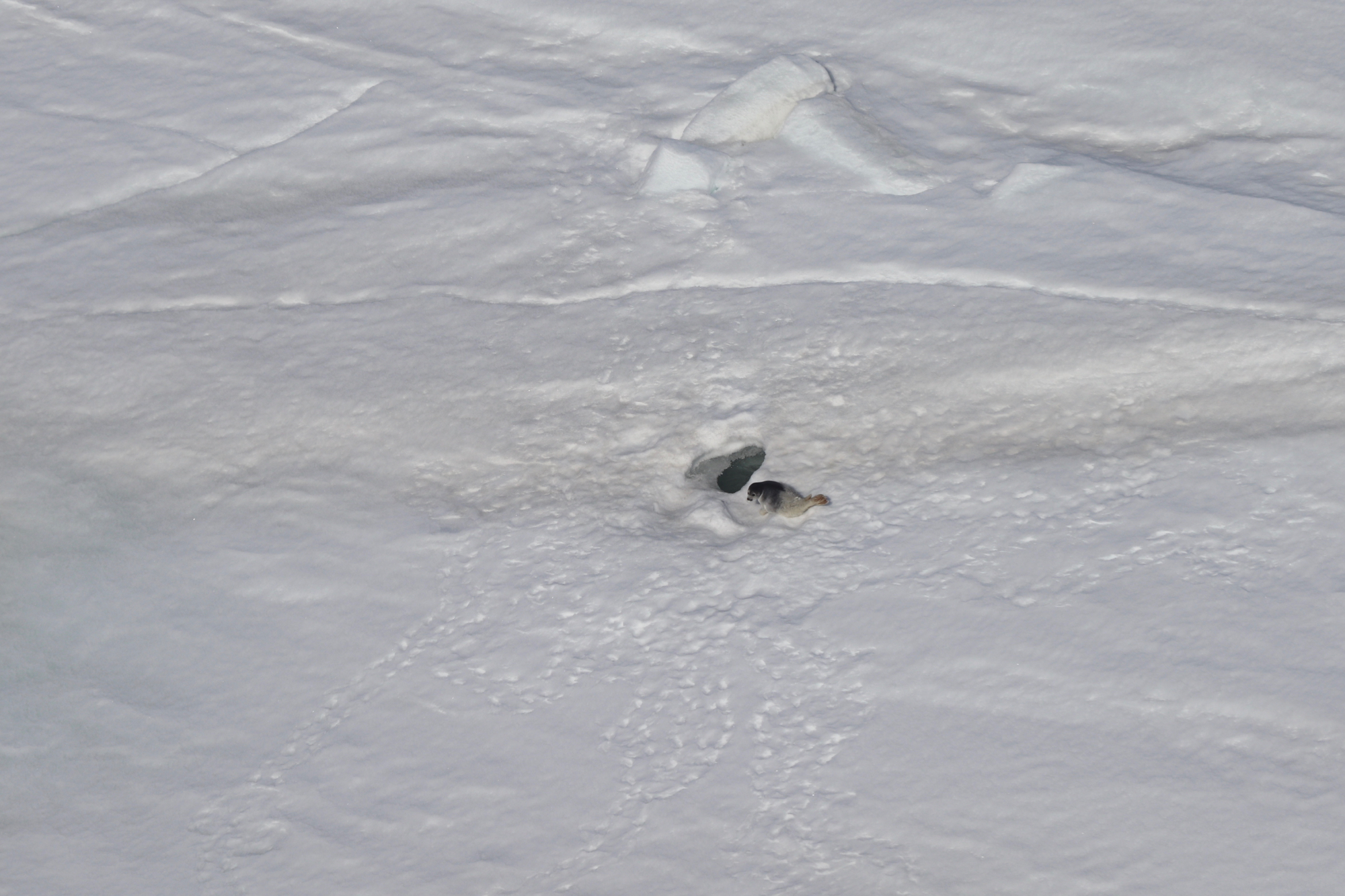
A juvenile Natchiq (Ringed Seal), its coat in limbo between the fuzzy white of a pup and the silverback of an adolescent, waits for its momma to return with a fresh catch.
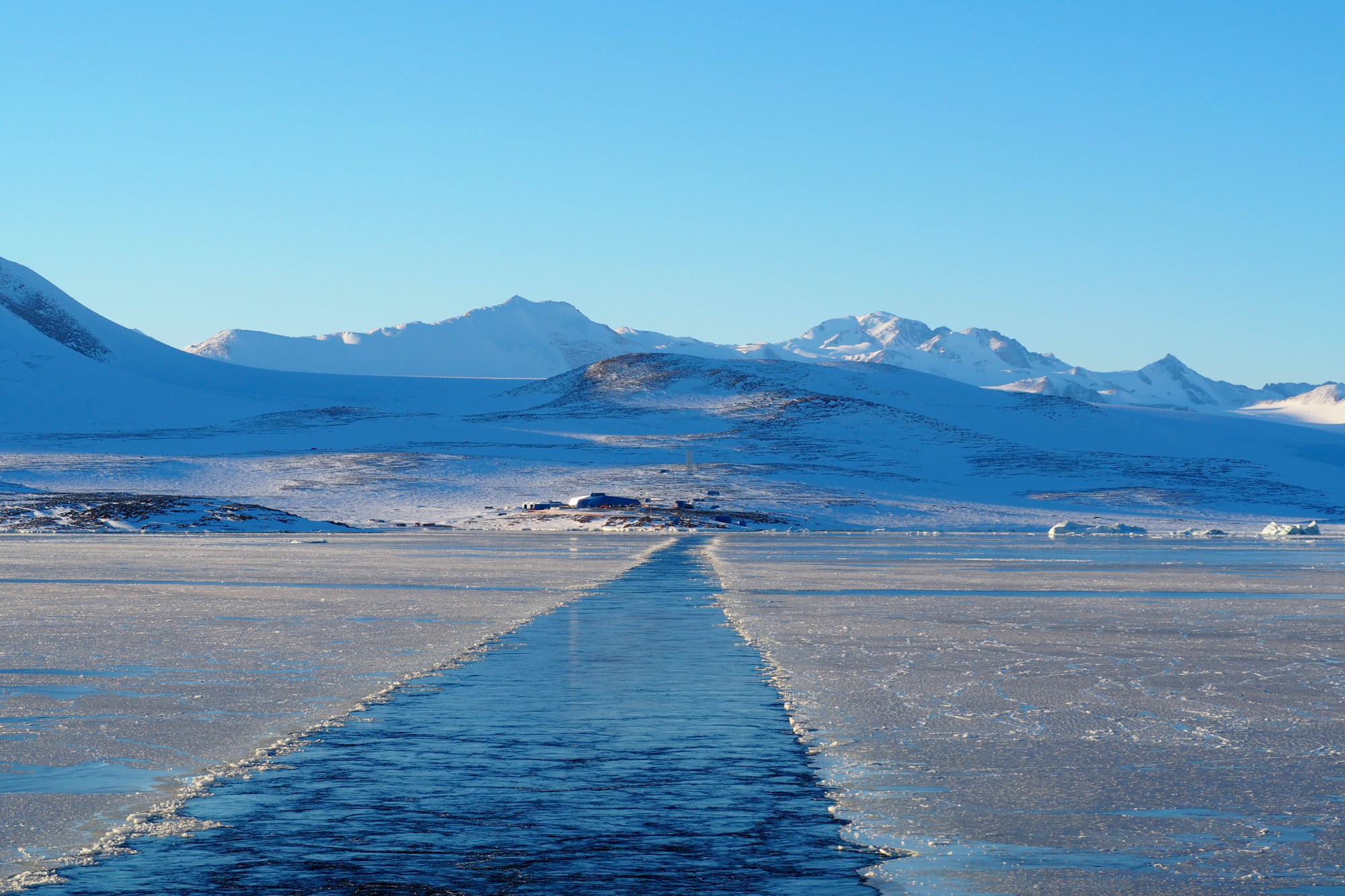
Icebreaking away from Jang Bogo station, South Korea's West Antarctic outpost.
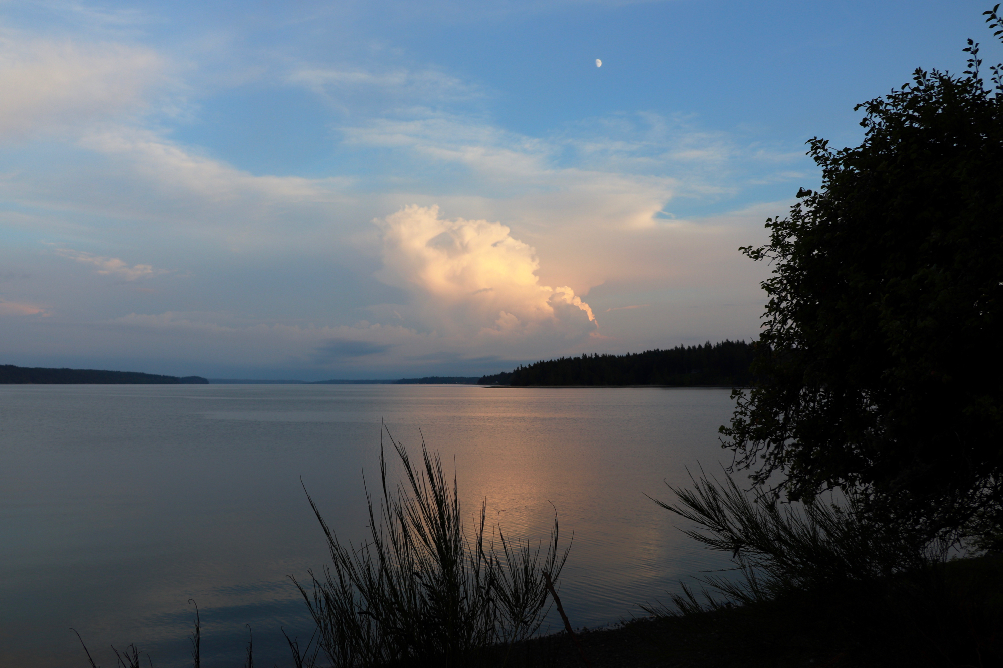
The waters of Whulj (Puget Sound).
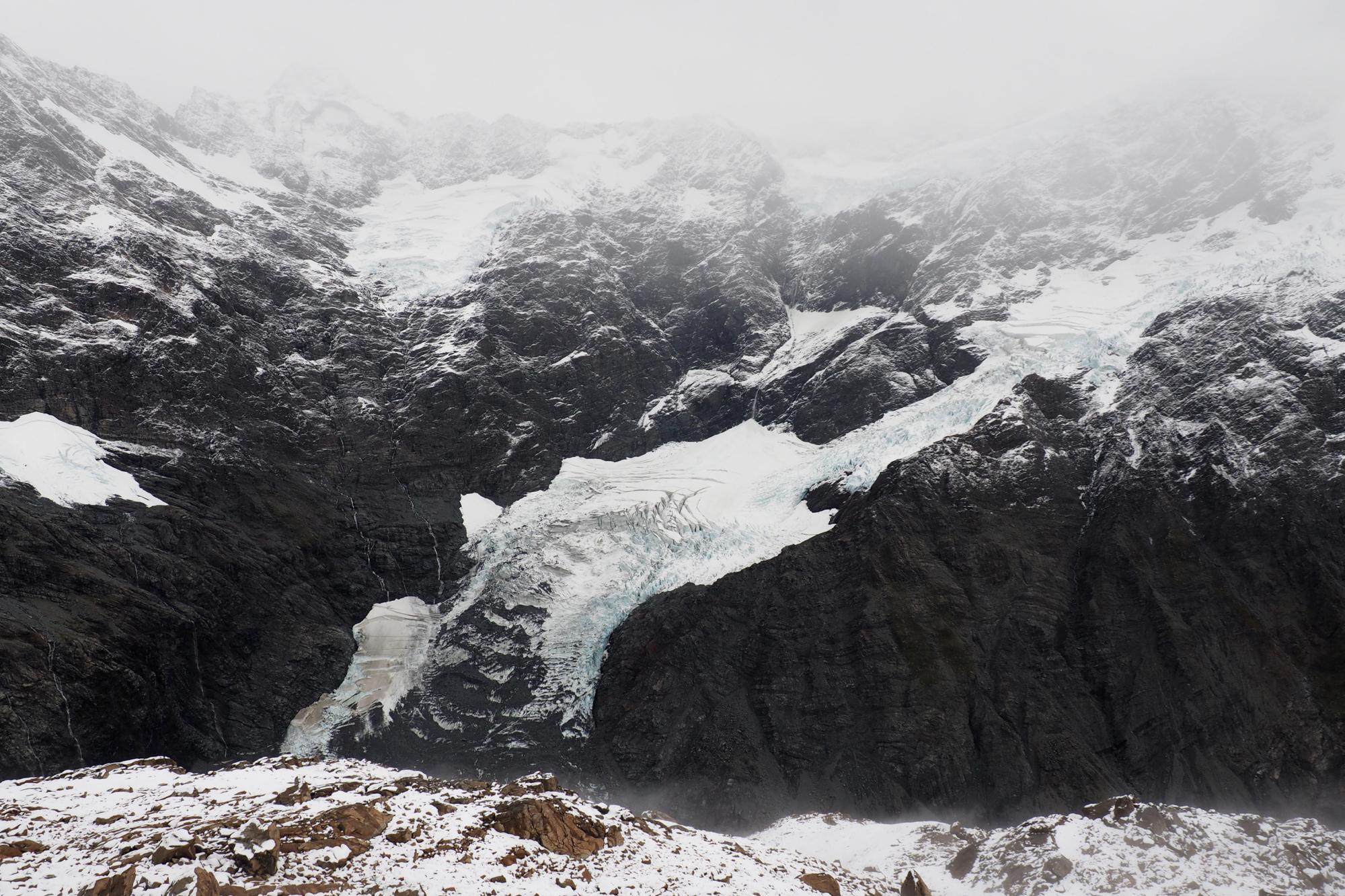
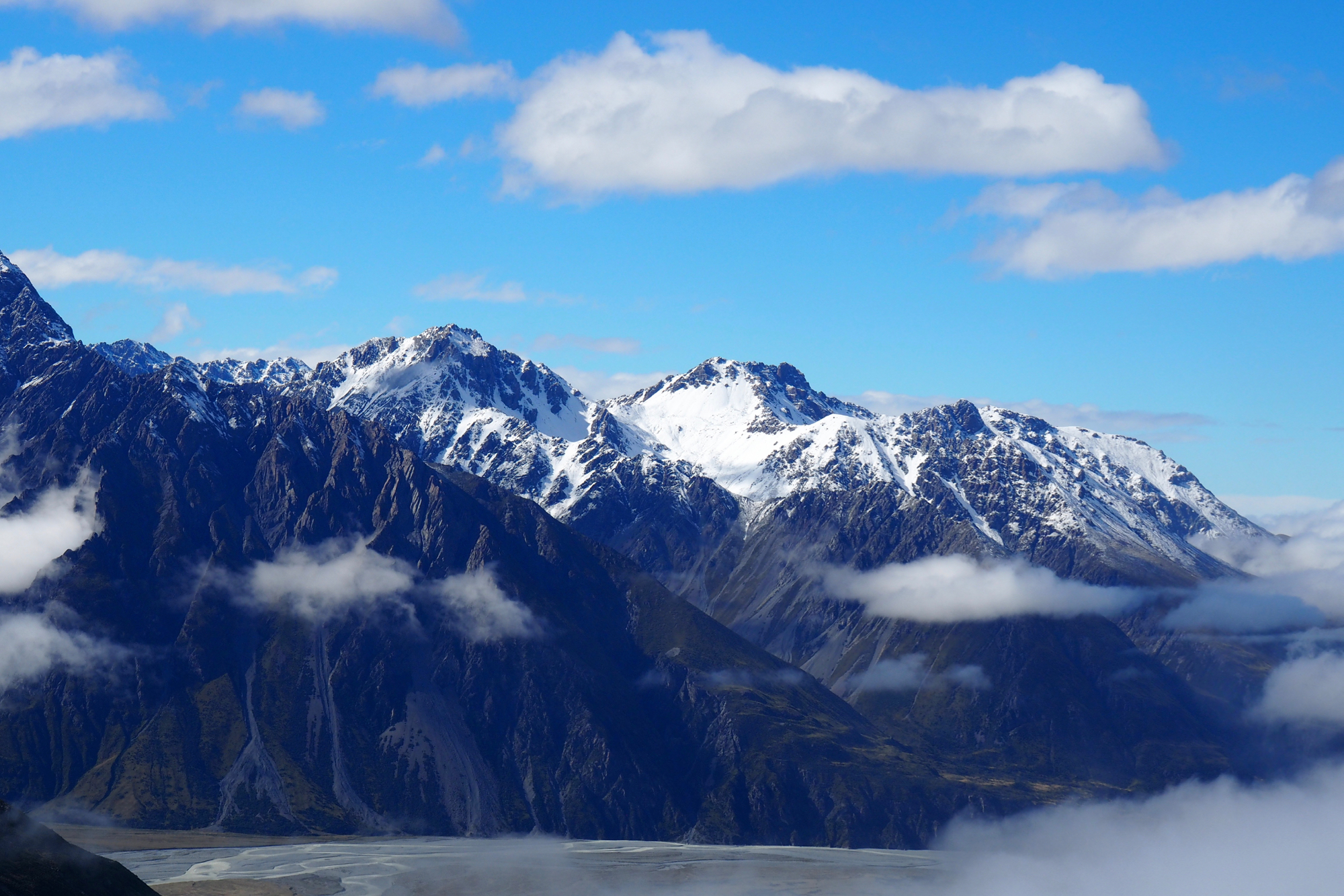
A glacier tributary high in Aotearoa, land of the long white cloud.
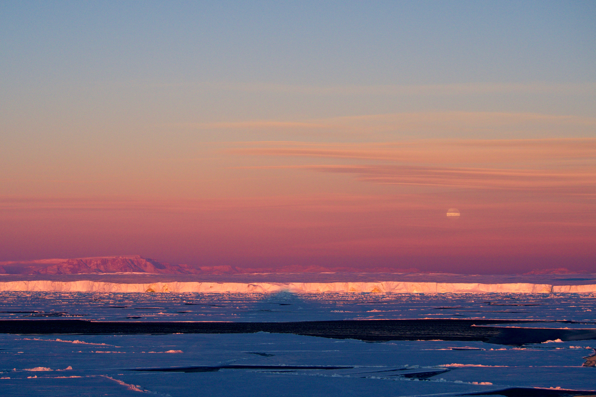
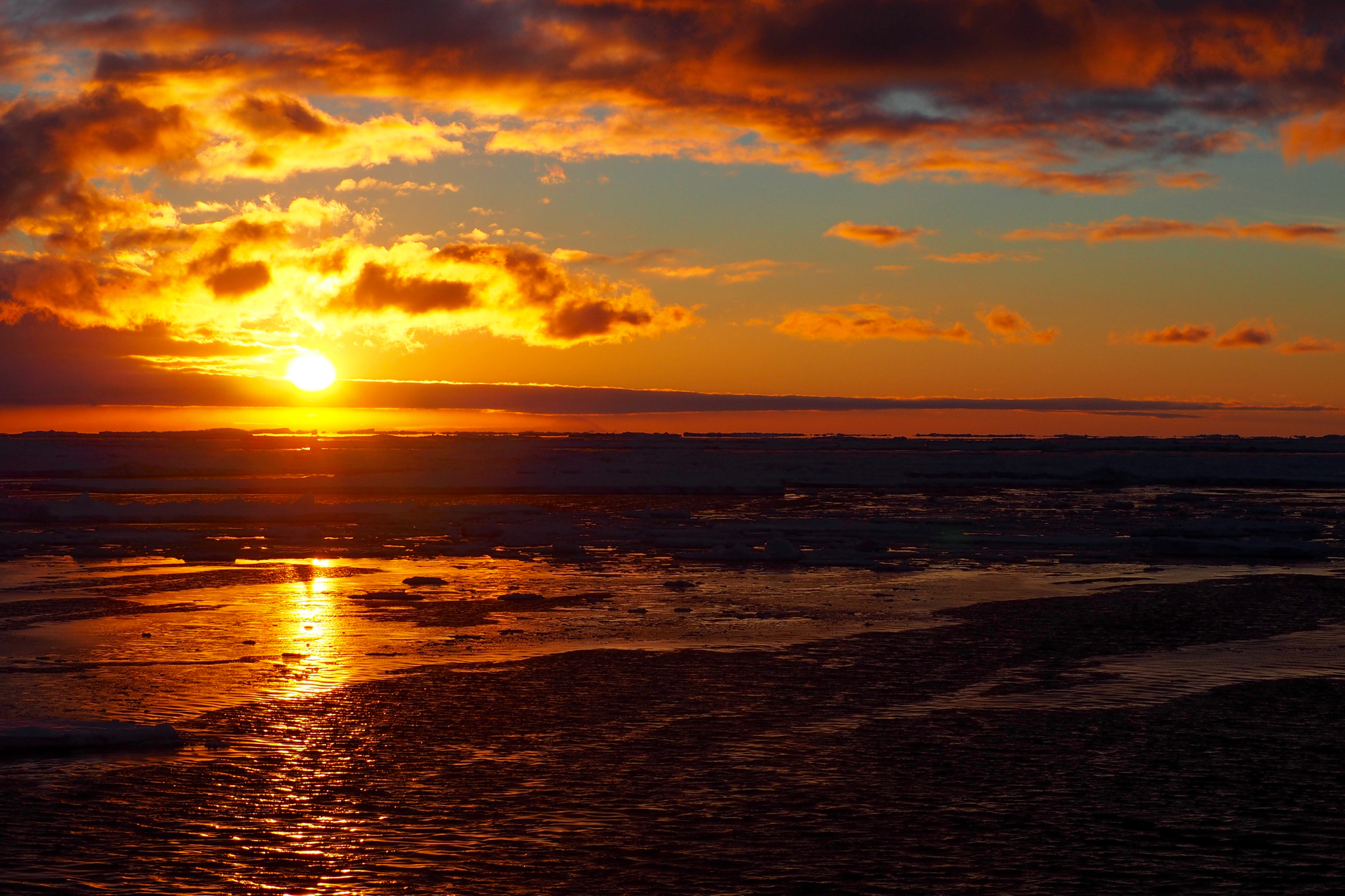
The perpetual sunset of late summer in the southern reaches.

Seal holes drain meltwater off the surface of spring sea ice.
Nansen Ice Shelf, named for the Nobel Peace Prize winner and most empathetic of explorers, Fridtjof Nansen.
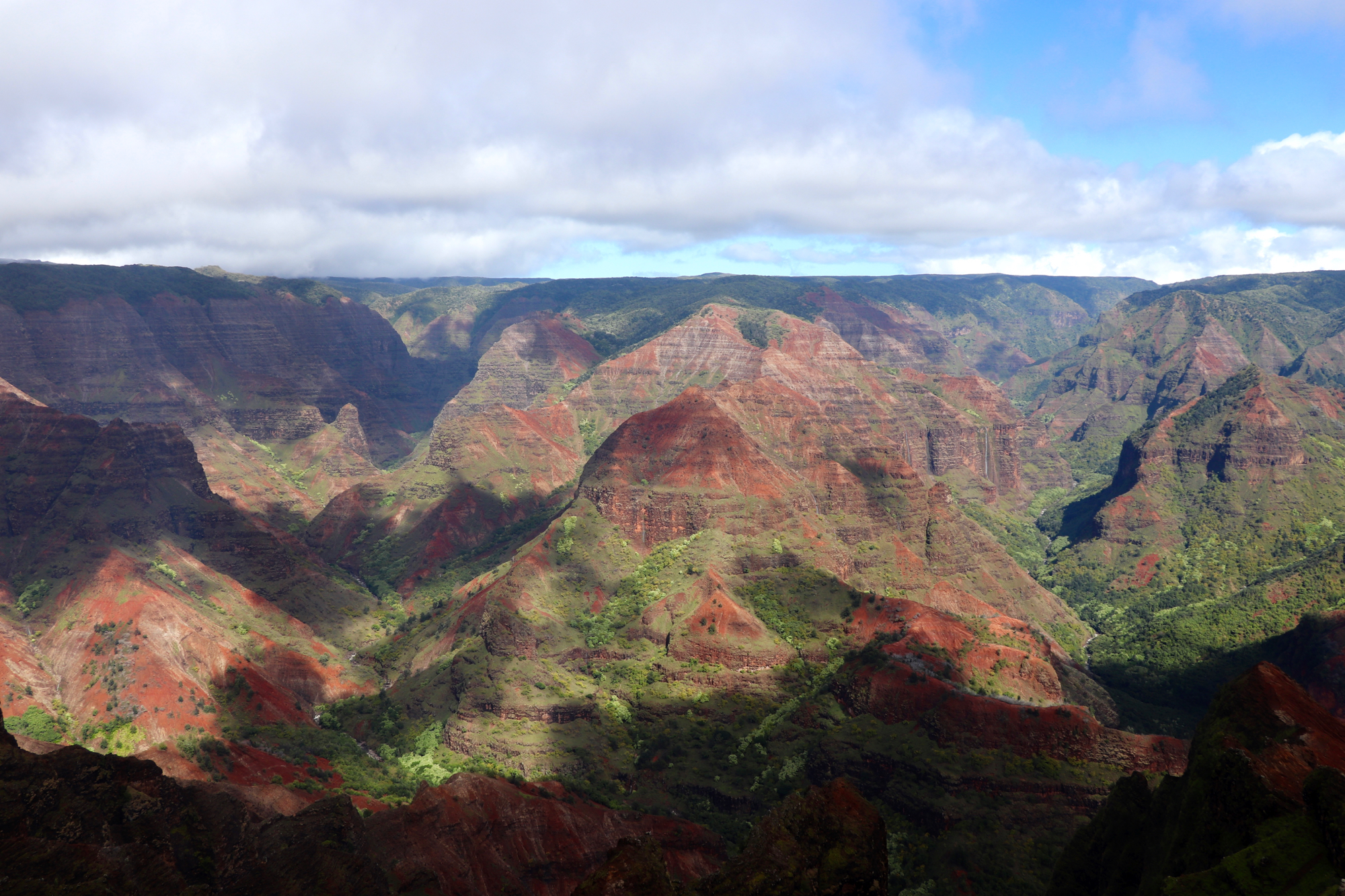
Waimea Canyon.
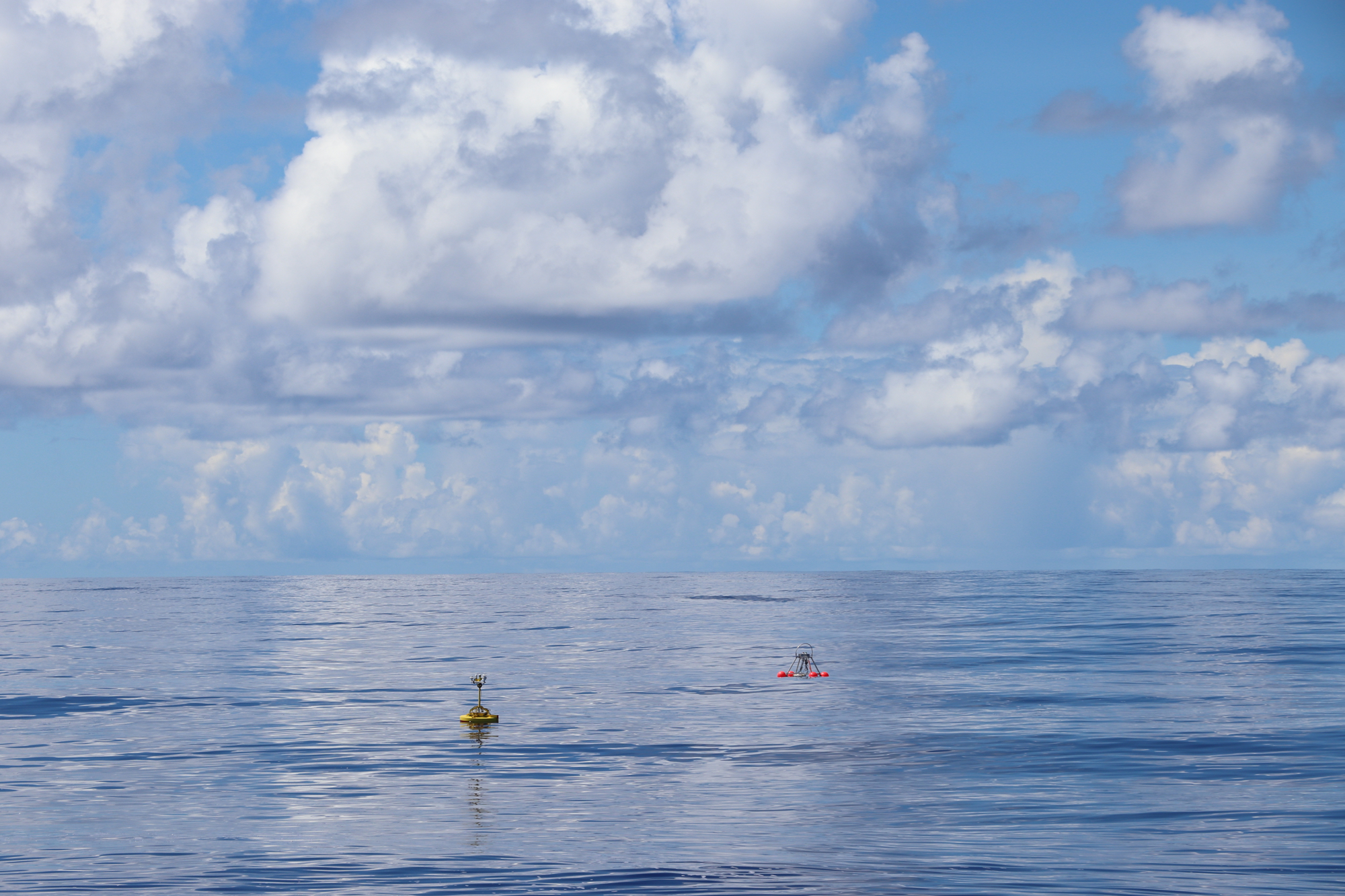
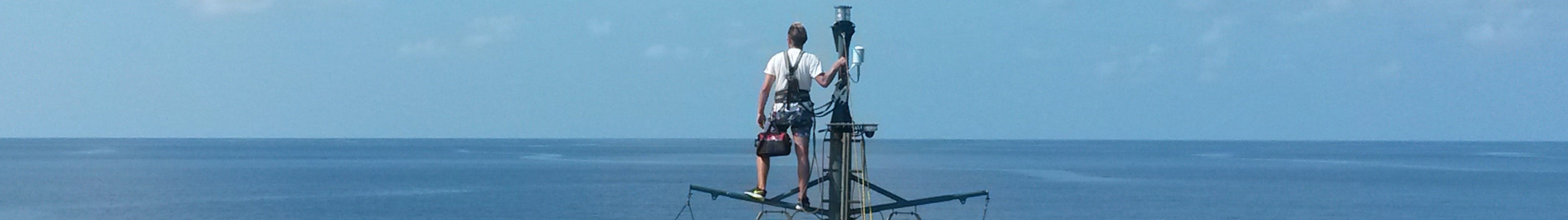
SPIP and SNIFFEL, acronymical autonomous ocean explorers and best of friends.
Who dat?

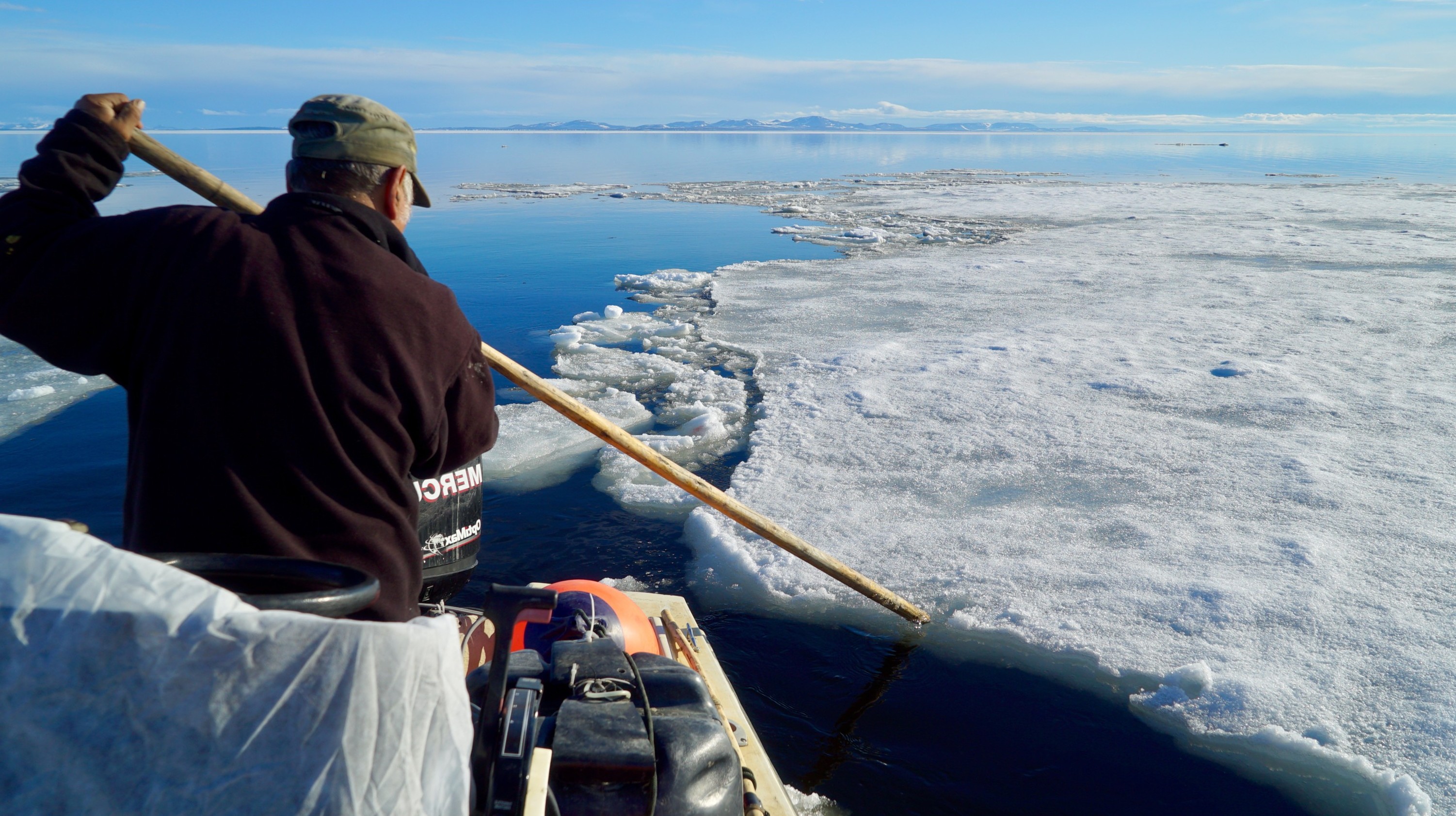
The ice beach of Kikiktagruk in spring.

Inexpressible island, so named by a party of explorers forced to winter unexpectedly against its cliffs, striving to shelter from 80-knot katabatic winds in a personal hell they could not find words to express.
Lines and scales.
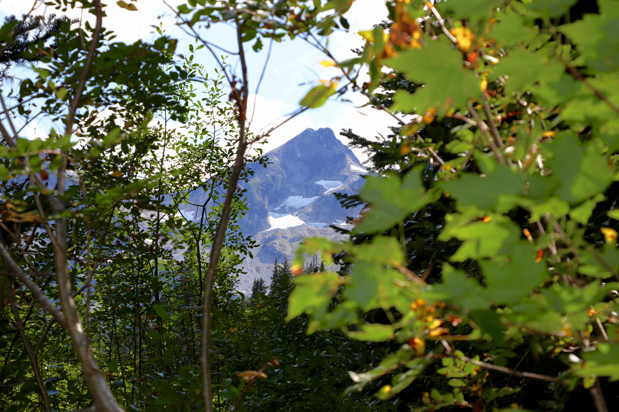
The view from Aoraki.
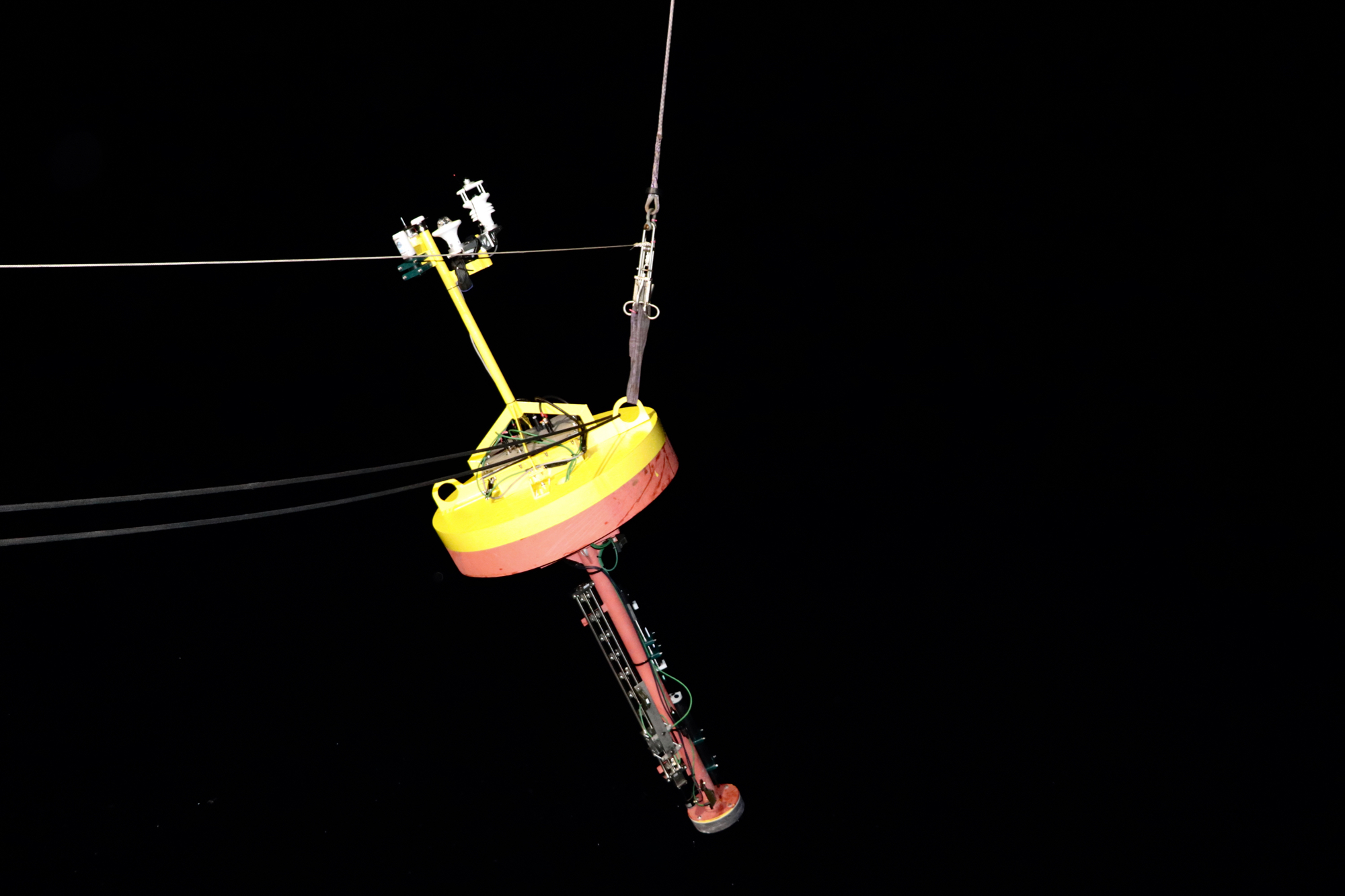
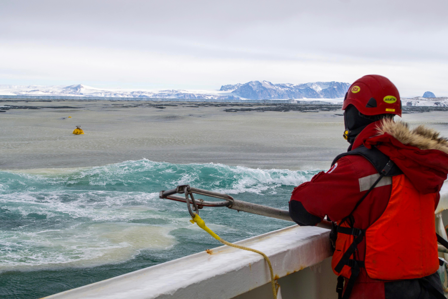
Oceanographic buoy deployment in the wee hours of the morn.
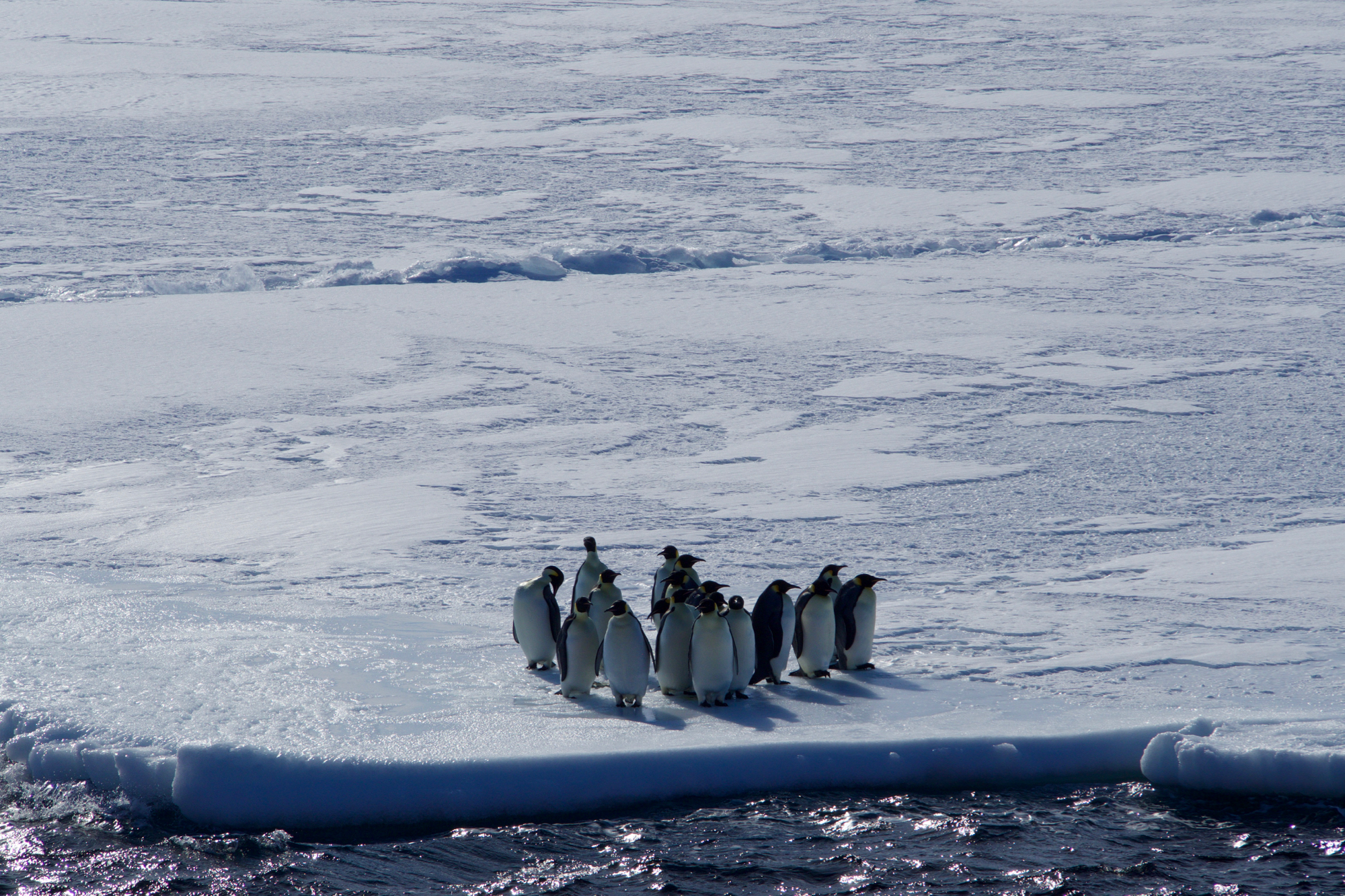
Emperor Penguins roll deep.
Antarctic fall sun teasing us with the threat of its departure.

Oceanic Langmuir turbulence, a series of spiral circulations in the direction of the wind and waves, organizes newly forming grease ice into streaks across Terra Nova Bay.
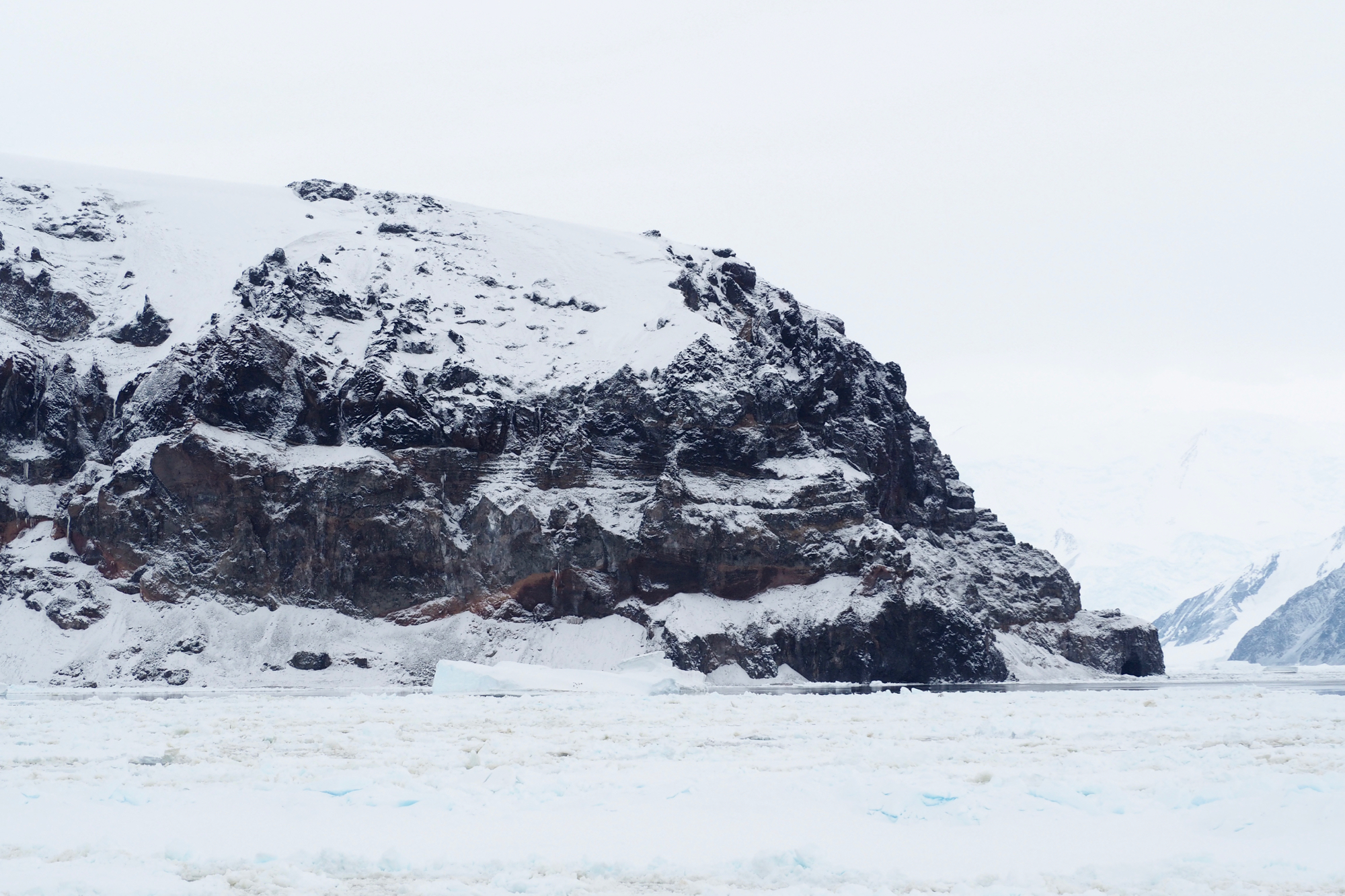
A piece of Terra Australis, the Southern Continent hypothesized to exist even in the time of Ptolemy, and first sighted (by anyone who felt it was worth making a big deal out of) in 1820.
The geothermally heated summit of Mt. Melbourne is an oasis in the midst of extremes, host to a rich and unique community of life.
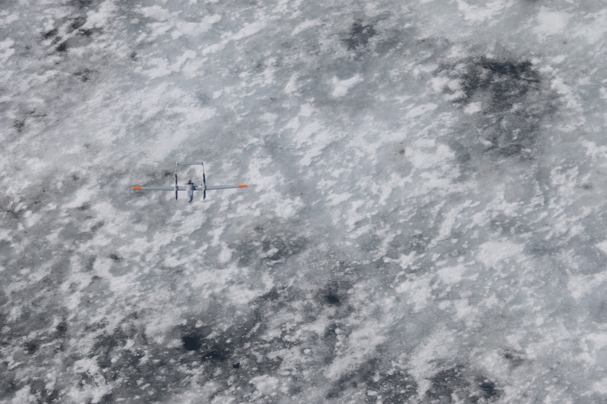
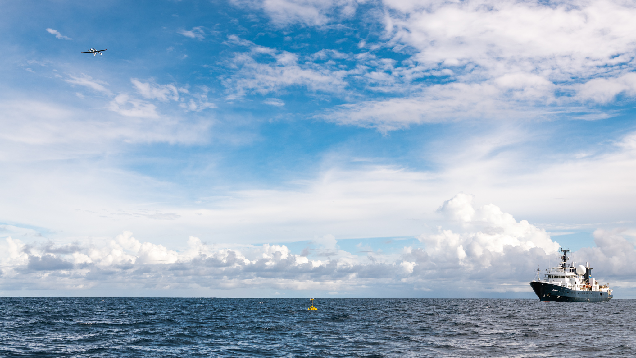
Drone over dappled ice. It takes off like a quadcopter but flies like a plane, probing the atmosphere of remote regions with the sensors on its nose.